
Elevation 692 m | Mountain range Thuringian Forest | |
 | ||
Similar Adlersberg, Großer Finsterberg, Großer Beerberg, Eselsberg, Dolmar | ||
The Schneeberg is a mountain, 692.4 metres high, that marks the southernmost boundary point of the borough of Suhl in the German state of Thuringia.
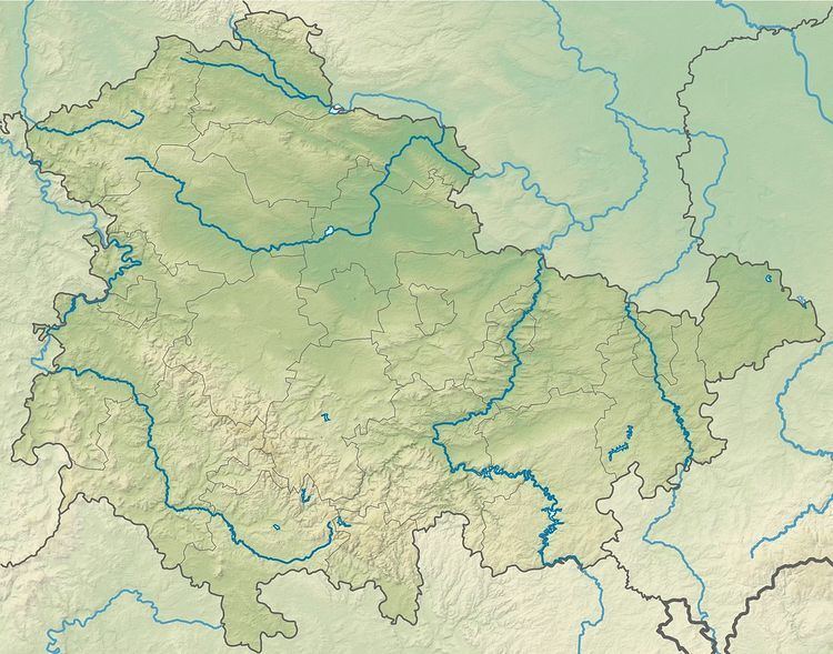
Map of Schnee-Berg, 98530 Suhl, Germany
The mountain is forested down to the valley in the south. Its southern mountainside belongs to the parish of Grub and Eichenberg, both small forest villages near Themar in the county of Hildburghausen. The Schneeberg is the highest point of the Little Thuringian Forest. A hiking trail runs over the wooded Schneeberg linking Dolmar to the Rennsteig trail.
References
Schneeberg (Thuringian Forest) Wikipedia(Text) CC BY-SA