
Vehicle registration LZ Area 36.64 km² Population 479 (1 Apr 2009) Area code 4853 | Time zone CET (UTC+1) Elevation 876 m Local time Friday 8:35 AM Postal code 9954 | |
 | ||
Weather 8°C, Wind W at 5 km/h, 71% Humidity | ||
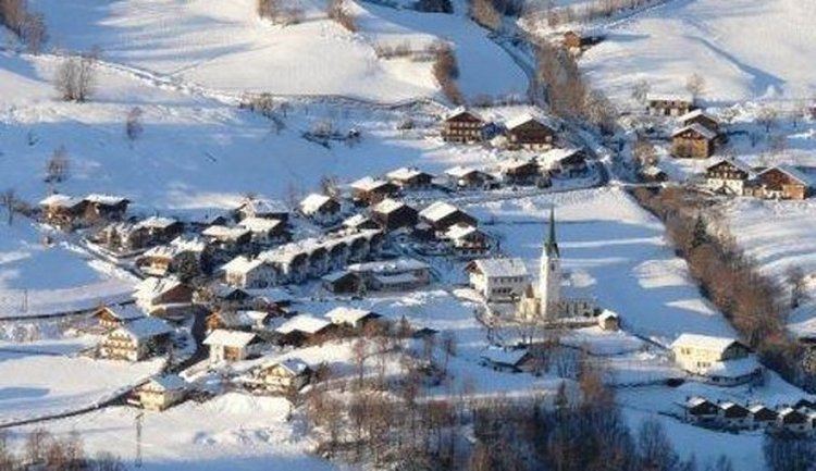
Schlaiten is a municipality in the district of Lienz in the Austrian state of Tyrol. Its name is of Slavonic origin, deriving from *slatina, which means swamp. The municipality consists of the following neighbourhoods: Plone, Gonzach, Mesnerdorf, Bacherdorf, Gantschach and Göriach.
Map of Schlaiten, Austria
References
Schlaiten Wikipedia(Text) CC BY-SA