
Time zone CET/CEST (UTC+1/+2) Area 29.15 km² Population 765 (31 Dec 2008) | Elevation 160 m (520 ft) Postal codes 06773 Local time Friday 8:22 AM Postal code 06773 Dialling code 034955 | |
 | ||
Weather 4°C, Wind NE at 10 km/h, 82% Humidity | ||
Schköna is a village and a former municipality in Wittenberg district in Saxony-Anhalt, Germany. Since January 1, 2011, it is part of the town Gräfenhainichen. It was part of the administrative community (Verwaltungsgemeinschaft) of Tor zur Dübener Heide since January 1, 2005.
Contents
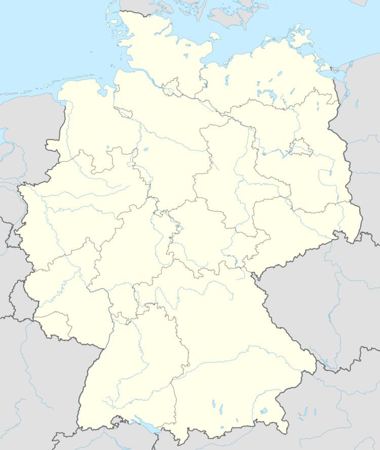
- Map of SchkC3B6na 06773 GrC3A4fenhainichen Germany
- Geography and transport
- History
- Subdivisions
- Sightseeing
- References
Map of Schk%C3%B6na, 06773 Gr%C3%A4fenhainichen, Germany
Geography and transport
Schköna lies about 9 km southeast of Gräfenhainichen and about 13 km from Bad Düben, in the middle of the Düben Heath, putting the community within the Düben Heath Nature Park. Through the community runs Federal Highway (Bundesstraße) B 107.
History
Schköna had its first documentary mention in the Meißen Bishopric Register of 1346 under the name Skogen. This placename, Skogen, is of Slavic origin, but its meaning is unknown. In the Thirty Years' War, Schköna was utterly destroyed by the Swedes, as were many places in the region. The church was only built anew in 1670.
In 1950, nearby Hohenlubast was amalgamated with Schköna.
Subdivisions
Schköna has one of these: Hohenlubast.