
Department Bas-Rhin Area 18.08 km² | Intercommunality Sélestat Local time Friday 5:18 AM | |
 | ||
Weather 7°C, Wind NW at 10 km/h, 90% Humidity Points of interest Château de l'Ortenbourg, Château de Ramstein, Gautherot Herve Robert C | ||
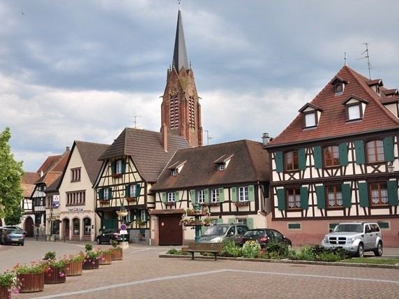
Scherwiller (German: Scherweiler) is a commune in the Bas-Rhin department in Alsace in northeastern France. Residents are referred to as Scherwillerois in French.
Contents
Map of Scherwiller, France
Geography
The town is situated on the wine route at an altitude of 185 meters (607 ft). Scherwiller is located at the mouth of the valleys of Sainte-Marie-aux-Mines to the east, and Villé at north, 5 kilometers (3.1 mi) west of Sélestat, Center Alsace, and 3.5 km (2.2 mi) south of Châtenois.
History
The name was mentioned early in the form Sceravillare or Scerwiller, designating a hamlet on the edge of the Scheer, the former name of the Aubach River, which runs through the village. Scherwiller is located at the intersection of two Roman roads: on an east–west axis the salt road from the Villé Valley, and on a north–south axis a Roman road, two milestones of which are still identifiable in the town itself. This explains the presence of Ortenbourg Castle during the 12th century.
Economy
Located in the heart of Alsace, the village is built in the middle of a 300-hectare (740-acre) vineyard, extending along the slopes downwards from Ortenbourg and Ramstein castles.