
Elevation 360 m (1,180 ft) Area 3.9 km² Postal code 55469 Dialling code 06761 | Municipal assoc. Simmern Time zone CET/CEST (UTC+1/+2) Local time Friday 6:30 PM Population 268 (31 Dec 2008) | |
 | ||
Weather 11°C, Wind E at 14 km/h, 64% Humidity | ||
Schönborn is an Ortsgemeinde – a municipality belonging to a Verbandsgemeinde, a kind of collective municipality – in the Rhein-Hunsrück-Kreis (district) in Rhineland-Palatinate, Germany. It belongs to the Verbandsgemeinde of Simmern, whose seat is in the like-named town.
Contents
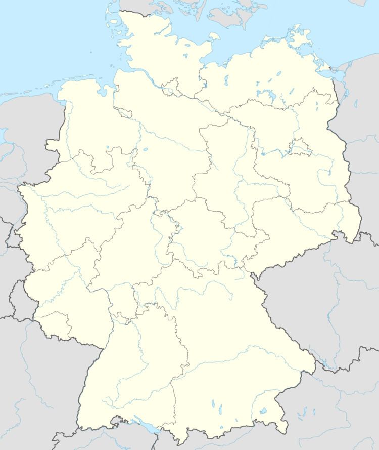
Map of Sch%C3%B6nborn, Germany
Location
The municipality lies in the central Hunsrück between the Kauerbach and Simmerbach valleys. To the east lies Simmern, some 4 km away, and to the west, Kirchberg, also some 4 km away.
History
Archaeological finds are known from as early as Late La Tène times. In 1290, Schönborn had its first documentary mention. The village was part of Palatinate-Simmern and, beginning in 1673, Electoral Palatinate. Beginning in 1794, Schönborn lay under French rule. In 1814 it was assigned to the Kingdom of Prussia at the Congress of Vienna. Since 1946, it has been part of the then newly founded state of Rhineland-Palatinate.
Municipal council
The council is made up of 6 council members, who were elected by majority vote at the municipal election held on 7 June 2009, and the honorary mayor as chairman.
Mayor
Schönborn’s mayor is Manfred Gruhn.
Buildings
The following are listed buildings or sites in Rhineland-Palatinate’s Directory of Cultural Monuments: