
FIPS code 19-71040 Elevation 382 m Zip code 50473 Local time Thursday 7:23 PM | Time zone Central (CST) (UTC-6) GNIS feature ID 0461455 Area 21 ha Population 71 (2013) Area code 641 | |
 | ||
Weather 3°C, Wind SE at 23 km/h, 93% Humidity | ||
Scarville is a city in Winnebago County, Iowa, United States. The population was 72 at the 2010 census.
Contents
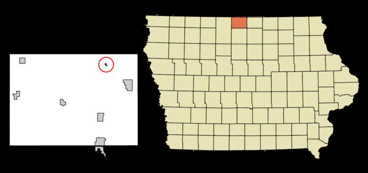
Map of Scarville, IA, USA
History
Scarville was platted in 1899, and incorporated as a city in 1904. The city was named for Ole Scar, a local landowner.
In 1973, investigators from the United States Atomic Energy Commission investigated a possible criticality accident on a railcar at the local grain elevator, but nothing conclusive was found.
Geography
Scarville's longitude and latitude coordinates in decimal form are 43.470519, -93.616480.
According to the United States Census Bureau, the city has a total area of 0.08 square miles (0.21 km2), all of it land.
2010 census
As of the census of 2010, there were 72 people, 36 households, and 18 families residing in the city. The population density was 900.0 inhabitants per square mile (347.5/km2). There were 40 housing units at an average density of 500.0 per square mile (193.1/km2). The racial makeup of the city was 97.2% White, 1.4% Native American, and 1.4% Asian.
There were 36 households of which 30.6% had children under the age of 18 living with them, 38.9% were married couples living together, 5.6% had a female householder with no husband present, 5.6% had a male householder with no wife present, and 50.0% were non-families. 47.2% of all households were made up of individuals and 25% had someone living alone who was 65 years of age or older. The average household size was 2.00 and the average family size was 2.94.
The median age in the city was 41 years. 23.6% of residents were under the age of 18; 5.6% were between the ages of 18 and 24; 25% were from 25 to 44; 25.1% were from 45 to 64; and 20.8% were 65 years of age or older. The gender makeup of the city was 41.7% male and 58.3% female.
2000 census
At the 2000 census, there were 97 people, 41 households and 25 families residing in the city. The population density was 997.4 per square mile (374.5/km²). There were 42 housing units at an average density of 431.8 per square mile (162.2/km²). The racial makeup of the city was 95.88% White and 4.12% Native American.
There were 41 households of which 34.1% had children under the age of 18 living with them, 48.8% were married couples living together, 7.3% had a female householder with no husband present, and 36.6% were non-families. 34.1% of all households were made up of individuals and 9.8% had someone living alone who was 65 years of age or older. The average household size was 2.37 and the average family size was 2.92.
32.0% of the population were under the age of 18, 4.1% from 18 to 24, 24.7% from 25 to 44, 23.7% from 45 to 64, and 15.5% who were 65 years of age or older. The median age was 36 years. For every 100 females there were 90.2 males. For every 100 females age 18 and over, there were 100.0 males.
The median household income was $40,139 and the median family income was $38,750. Males had a median income of $30,000 versus $21,500 for females. The per capita income for the city was $18,949. There were 6.3% of families and 6.9% of the population living below the poverty line, including 6.7% of under eighteens and none of those over 64.