
Pop. density 0 /km (0 /sq mi) Area 148 ha Listing Marilyn | Highest elevation 252 m (827 ft) Population 0 (2011) Elevation 252 m | |
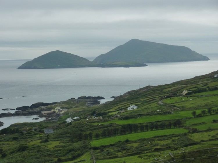 | ||
Scariff Island (Irish: An Scairbh, meaning "Rugged",) is an island of the Atlantic Ocean belonging to County Kerry, Ireland.
Contents
Map of Scariff, Co. Kerry, Ireland
Geography
The island is 366 acres; its highest hill is at 252 m. It's located in the Atlantic Ocean at around 1 km from Deenish Island and 7 km from Hogs Head, on the mainland.
History
In 1837 on Scariff lived only one family; their main work was to care the cattle which grazed on the island. On the summit of the hill there were remains of an ancient hermitage and, on the east side, ruins of a church. 1911 census does not report any inhabitant for Scariff Island.
References
Scariff Island Wikipedia(Text) CC BY-SA