
Population 1,246 Sovereign state United Kingdom | OS grid reference SE0884016430 Local time Thursday 10:17 PM Dialling code 01484 | |
 | ||
Weather 3°C, Wind NE at 24 km/h, 91% Humidity | ||
Buckstones a640 huddersfield views 1mar 12 20 scapegoat hill valley pan
Scapegoat Hill is a small village 5 miles (8 km) west of Huddersfield, West Yorkshire, England. It is near to the villages of Slaithwaite and Golcar. The village together with nearby Bolster Moor has a population of 1,246.
Contents
- Buckstones a640 huddersfield views 1mar 12 20 scapegoat hill valley pan
- Map of Scapegoat Hill Huddersfield UK
- References
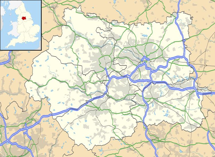
Map of Scapegoat Hill, Huddersfield, UK
This Pennine village is 328 metres above sea level at its highest point (near the millennium stone). It is also nearby the Moorside Edge Radio transmitter. The first recorded mention is from 1638 in the records of Huddersfield Parish Church on the death of a child of a William Aneley. At that date, the place was called 'Slipcoat' (or Slippery Coat) Hill. The first record of the name 'Scapegoat Hill' occurs in an Enclosure notice placed in the Leeds Mercury in 1820. Although the first Ordnance Survey map (of 1843) uses the old name, 'Scapegoat Hill' was in regular use after 1820. The village grew up around the woollen trade, and, in spite of having no mill, continued to grow in size throughout the nineteenth century. In fact, handloom weavers are recorded here as late as 1935. Throughout the nineteenth century and well into the twentieth, the village was a very strong centre of baptism opening a church as a daughter of the Pole Moor Church 1871 and moving to its present building in 1900.