
Country Canada Census division 2 Time zone MST (UTC-7) Population 154 (2011) | Postal code span T0J 2Z0 Local time Thursday 3:19 PM | |
 | ||
Weather 16°C, Wind NW at 8 km/h, 22% Humidity | ||
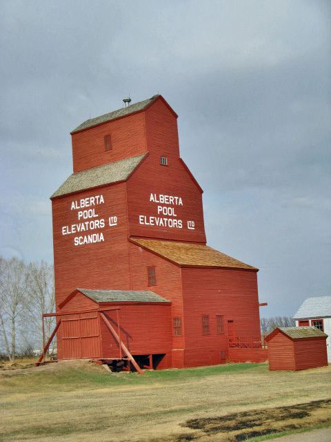
Scandia is a hamlet in Alberta, Canada within the County of Newell. It is located 2 kilometres (1.2 mi) west of Highway 36, approximately 34 kilometres (21 mi) southwest of Brooks.
Contents
Map of Scandia, AB, Canada
Demographics
As a designated place in the 2016 Census of Population conducted by Statistics Canada, Scandia recorded a population of 146 living in 43 of its 54 total private dwellings, a change of 2999480000000000000♠−5.2% from its 2011 population of 154. With a land area of 0.19 km2 (0.073 sq mi), it had a population density of 768.4/km2 (1,990.2/sq mi) in 2016.
As a designated place in the 2011 Census, Scandia had a population of 154 living in 46 of its 55 total dwellings, a 12.4% change from its 2006 population of 137. With a land area of 0.2 km2 (0.077 sq mi), it had a population density of 770/km2 (2,000/sq mi) in 2011.