
Country United States Time zone CST (UTC-6) Elevation 301 m Local time Thursday 3:31 PM | Established March 7, 1855 ZIP codes 61001, 61075 Area 48.46 km² Population 622 (2010) | |
 | ||
Weather 6°C, Wind SE at 26 km/h, 54% Humidity | ||
Scales Mound Township is one of twenty-three townships in Jo Daviess County, Illinois, USA. As of the 2010 census, its population was 622 and it contained 286 housing units. It was formed from Council Hill and Thompson townships on March 7, 1855.
Contents
- Map of Scales Mound Township IL 61075 USA
- Geography
- Cities towns villages
- Adjacent townships
- Cemeteries
- School districts
- Political districts
- References
Map of Scales Mound Township, IL 61075, USA
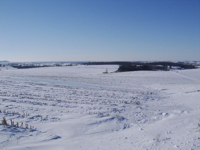
Charles Mound, the highest point in Illinois, is located within Scales Mound Township.
Geography
According to the 2010 census, the township has a total area of 18.71 square miles (48.5 km2), all land.
Cities, towns, villages
Adjacent townships
Cemeteries
The township contains these two cemeteries: Citizens and Holy Trinity.
School districts
Political districts
References
Scales Mound Township, Jo Daviess County, Illinois Wikipedia(Text) CC BY-SA