
 | ||
El marcial mpio isla y el oriente mpio sayula de alem n
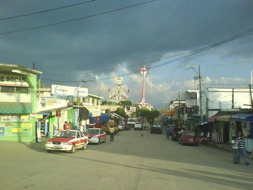
Sayula is a municipality located in the plains of the Sotavento zone in the central zone of the State of Veracruz in Mexico, about 382 km from state capital Xalapa. It has a surface of 640.76 km2. It is located at 17°53′N 94°57′W.
Contents
- El marcial mpio isla y el oriente mpio sayula de alem n
- Map of Sayula de AlemC3A1n Ver Mexico
- Geographic Limits
- Agriculture
- Celebrations
- Weather
- References
Map of Sayula de Alem%C3%A1n, Ver., Mexico
Geographic Limits
The municipality of Sayula is delimited to the north by Acayucan, to the east by Oluta and Texistepec, to the south by Jesús Carranza and to the west by San Juan Evangelista. It is watered by rivers of the San Juan, which is a tributary of the river Papaloapan and for other tributaries of the Río Chiquito, and the brazo de Coatzacoalcos.
Agriculture
It produces principally maize, beans, rice, orange fruit, coffee, mango and green chile.
Celebrations
In Sayula, in May takes place the celebration in honor to San Isidro Labrador, Patron of the town, and in December takes place the celebration in honor to Virgen de Guadalupe.
Weather
The weather in Sayula is warm and wet all year with rains in summer and autumn.