
Postal code (street) 2196 Local time Thursday 6:21 PM | Main Place Johannesburg PO box 2132 | |
 | ||
Weather 16°C, Wind NW at 14 km/h, 81% Humidity Restaurants Gingko, The Rooftop Cafe, Fogg Digital | ||
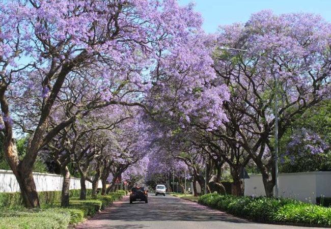
Saxonwold is a suburb of Johannesburg, South Africa. It is situated in what was once the Sachsenwald Forest in the early 20th century. It is located in Region E.
Contents
Map of Saxonwold, Johannesburg, 2196, South Africa
History
The suburb has its origins as part of the Braamfontein farm which was owned by Hermann Eckstein. He had bought the farm to explore it for minerals and when he failed to find any, the land was converted as a timber plantation in 1891 called Sachsenwald after Otto von Bismarck's estate. The lands name would be anglicized at the beginning of World War One and was called Saxonwold. In 1903, Wernher Beit & Co and Max Michaelis gave 200 acres of freehold ground in the Sachsenwald plantation to the Johannesburg Town Council for the use by the people of Johannesburg by the creation of the Herman Eckstein Park. This park would become Zoo Lake, the Johannesburg Zoo and the South African National Museum of Military History. The remaining land in the plantation was developed into a township called Saxonwold in 1925 by the Transvaal Consolidated Land & Exploration Co Ltd. The streets were laid out to view the Rand Regiments Memorial with instructions to home builders not to impede the view of the memorial and the street names having an old Anglo-Saxon theme and ended in wold.
The Japanese School of Johannesburg previously had a location in Saxonwold. After a negative campaign in 1968, the location was forced to close