
Elevation 410 m (1,350 ft) Area 182 ha Postal code 54558 Dialling code 06573 | Time zone CET/CEST (UTC+1/+2) Local time Thursday 5:00 PM Population 71 (31 Dec 2008) | |
 | ||
Weather 12°C, Wind E at 16 km/h, 60% Humidity | ||
Saxler is an Ortsgemeinde – a municipality belonging to a Verbandsgemeinde, a kind of collective municipality – in the Vulkaneifel district in Rhineland-Palatinate, Germany. It belongs to the Verbandsgemeinde of Daun, whose seat is in the like-named town.
Contents
- Map of Saxler Germany
- Location
- Neighbouring municipalities
- History
- Politics
- Municipal council
- Mayor
- Coat of arms
- Buildings
- Transport
- References
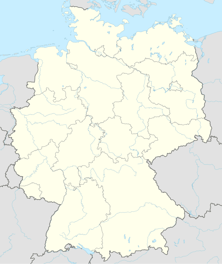
Map of Saxler, Germany
Location
The municipality lies in the Vulkaneifel, a part of the Eifel known for its volcanic history, geographical and geological features, and even ongoing activity today, including gases that sometimes well up from the earth.
Neighbouring municipalities
North of Saxler lies Ellscheid, and to the south lies Gillenfeld.
History
During drainage works in 1991 north-northwest of Saxler, a Roman settlement was unearthed, as were many potsherds from the 2nd to 4th century.
In the Middle Ages, Saxler belonged to the Electoral-Trier Amt of Daun.
In 1286, Saxler had its first documentary mention when Johann von Daun was enfeoffed by the Archbishopric of Cologne with Castle Sachsler along with its fishponds and its mill. In 1362, Archbishop Werner of Trier acquired shares in the mill, which by 1479 had become wholly the Archbishopric’s property.
Politics
Saxler belongs to the court district of Daun.
Municipal council
The council is made up of 6 council members, who were elected by majority vote at the municipal election held on 7 June 2009, and the honorary mayor as chairman.
Mayor
Saxler’s mayor is Josef Max.
Coat of arms
The German blazon reads: In blauem Schild ein schrägrechter silberner Balken, belegt mit einer roten, langstieligen Schaufel; oben begleitet von einem silbernen Mühlrad, unten von einem silbernen schrägrechts nach unten gewendeten Fisch.
The municipality’s arms might in English heraldic language be described thus: Azure a bend sinister argent charged with a shovel gules, dexter a waterwheel and sinister a fish bendwise sinister, the head to base, both of the second.
The two charges each side of the bend sinister (that is, diagonal stripe running crosswise to the usual direction for this ordinary) refer to the mill and the fishponds with which Johann von Daun was enfeoffed in the village’s first documentary mention. The long-handled shovel is Saint Wendelin’s attribute, thus representing the municipality’s and the church’s patron saint.
Buildings
Transport
West of the village runs the Autobahn A 1. The village’s main street is Kreisstraße 19. Also near the village runs the Maare-Mosel-Radweg, a cycle path.