
Founded 1885 Population 16,513 (2013) Unemployment rate 8.6% (Apr 2015) | Area 3,496 km² | |
 | ||
Website www.sawyercountygov.org Points of interest National Fresh Water Fis, Grindstone Lake, Wilderness Walk Zoo, Hayward Amusement Center, Hookstone Winery Destinations Hayward, Chequamegon‑Nicolet National Forest, Stone Lake, Winter, Lac Courte Oreilles | ||
Sawyer County is a county in the U.S. state of Wisconsin. As of the 2010 census, the population was 16,557. Its county seat is Hayward.
Contents
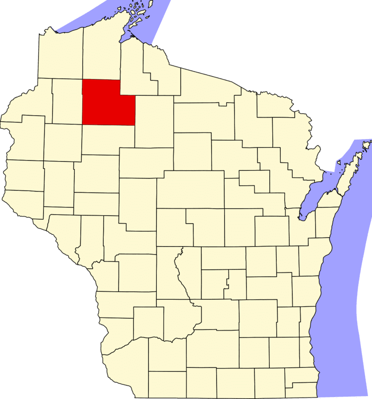
- Map of Sawyer County WI USA
- History
- Geography
- Major highways
- Airport
- Adjacent counties
- National protected areas
- Demographics
- Cities
- Villages
- Census designated places
- References
Map of Sawyer County, WI, USA
History
The county is named for Philetus Sawyer, a New England man who represented Wisconsin in the U.S. House of Representatives and U.S. Senate in the 19th century. Logging began in the late 1850s. Loggers came from Cortland County, New York, Carroll County, New Hampshire, Orange County, Vermont and Down East Maine in what is now Washington County, Maine and Hancock County, Maine. These were "Yankee" migrants, that is to say they were descended from the English Puritans who had settled New England during the 1600s. They were mostly members of the Congregational Church. Sawyer County was created in 1883 and organized in 1885. In the 1890s immigrants came from a variety of countries such as Germany, Norway, Poland, Ireland and Sweden.
Geography
According to the U.S. Census Bureau, the county has a total area of 1,350 square miles (3,500 km2), of which 1,257 square miles (3,260 km2) is land and 93 square miles (240 km2) (6.9%) is water. It is the fifth-largest county in Wisconsin by land area.
Major highways
Airport
Sawyer County Airport (KHYR) serves the county and surrounding communities.
Adjacent counties
National protected areas
Demographics
As of the census of 2000, there were 16,196 people, 6,640 households, and 4,581 families residing in the county. The population density was 13 people per square mile (5/km²). There were 13,722 housing units at an average density of 11 per square mile (4/km²). The racial makeup of the county was 81.72% White, 0.31% Black or African American, 16.07% Native American, 0.30% Asian, 0.02% Pacific Islander, 0.35% from other races, and 1.23% from two or more races. 0.90% of the population were Hispanic or Latino of any race. 29.6% were of German, 7.8% Irish, 6.7% Norwegian, 5.9% Polish, 5.2% Swedish and 5.2% English ancestry according to Census 2000. 95.4% spoke English, 2.0% Ojibwa and 1.1% Spanish as their first language.
There were 6,640 households out of which 27.50% had children under the age of 18 living with them, 54.20% were married couples living together, 10.00% had a female householder with no husband present, and 31.00% were non-families. 26.20% of all households were made up of individuals and 11.70% had someone living alone who was 65 years of age or older. The average household size was 2.39 and the average family size was 2.86.
In the county, the population was spread out with 24.10% under the age of 18, 6.00% from 18 to 24, 24.60% from 25 to 44, 27.40% from 45 to 64, and 17.90% who were 65 years of age or older. The median age was 42 years. For every 100 females there were 101.80 males. For every 100 females age 18 and over, there were 101.00 males.