
Country Thailand Amphoe established 1948 Time zone THA (UTC+7) Area 181.3 km² | Province Ang Thong Seat Sawaeng Ha Postal code 14150 Population 34,734 (2008) | |
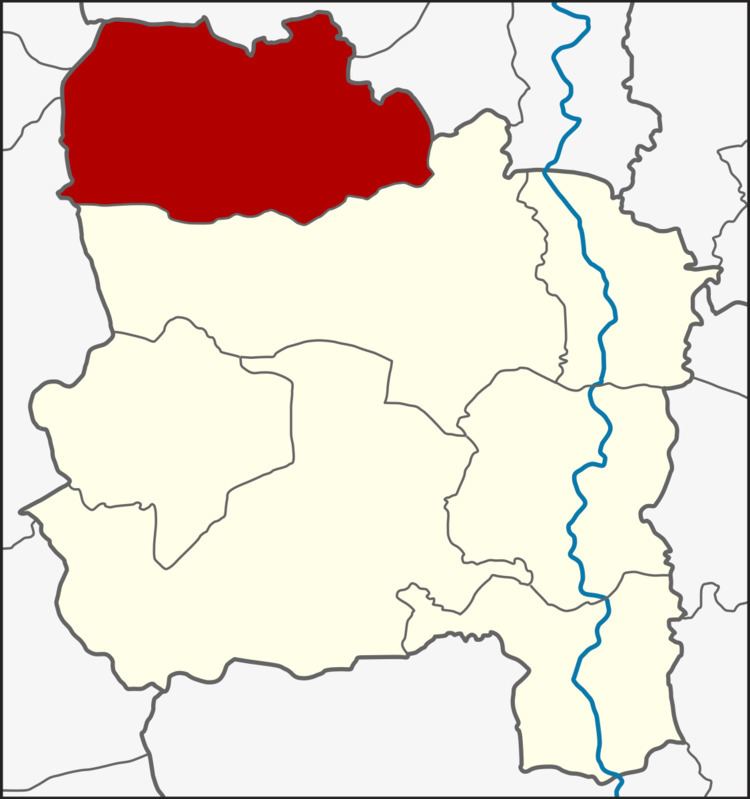 | ||
Sawaeng Ha (Thai: แสวงหา) is the northernmost district (Amphoe) of Ang Thong Province, central Thailand.
Contents
Map of Sawaeng Ha District, Ang Thong, Thailand
Sawaeng Ha in Thai language means seek or find.
History
The name of Tambon Sawaeng Ha was first found in the Ayutthaya kingdom records.
In 1945 Tambon Si Bua Thong area was still a rural area covered by deep forest between the two provinces Suphanburi and Sing Buri. This made it a popular hiding place for criminals. The government thus set up a commando division in Tambon Sawaeng Ha to sweep them.
Effective January 1 1948 the government upgraded the area to a minor district (King Amphoe) by splitting 5 subdistrict from Pho Thong district. 1956 it was upgraded to a full district.
Geography
Neighbouring districts are (from the north clockwise) Khai Bang Rachan and Tha Chang of Sing Buri Province, Pho Thong of Ang Thong province, and Si Prachan, Sam Chuk and Doem Bang Nang Buat of Suphanburi Province.
Administration
The district is subdivided into 7 subdistricts (tambon), which are further subdivided into 61 villages (Muban). Sawaeng Ha is also a subdistrict municipality (thesaban tambon) which covers parts of the tambon Sawaeng Ha. There are further 7 Tambon administrative organizations (TAO).