
Country Serbia Status Municipality Time zone CET (UTC+1) Local time Thursday 3:19 PM | Settlements 1 Postal code 11000 Population 39,122 (2011) | |
 | ||
Weather 24°C, Wind E at 10 km/h, 38% Humidity Points of interest Museum of Yugoslav History, Beli dvor, Museum of African Art - Belgrade, Residence of Prince Miloš, Belgrade Fair | ||
Savski Venac (Serbian Cyrillic: Савски Венац, [sâːv̞skiː v̞ě̞ːnat͡s]) is an urban neighborhood and one of 17 city municipalities which constitute the city of Belgrade, the capital of Serbia. According to the 2011 census results, the municipality has a population of 39,122 inhabitants.
Contents
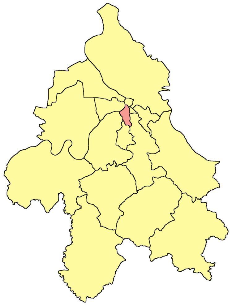
- Map of Savski Venac Serbia
- Location
- Geography
- Demographics
- Ethnic structure
- Politics
- History and name
- Features
- Administration
- Traffic
- Economy and tourism
- Health
- Culture and education
- References
Map of Savski Venac, Serbia
It is one of the three municipalities which constitute the very center of Belgrade, together with Stari Grad and Vračar.
Location
Savski Venac is located on the right bank of the Sava river. It stretches in the north-south direction for 6 kilometers (3.7 mi) (from downtown Belgrade, just 200 meters (660 ft) from Terazije, to Banjica) and east-west direction for 3 kilometers (1.9 mi) (from Senjak and the Sava bank to Autokomanda). It borders the municipalities of Stari Grad to the north, Vračar to the north-east, Voždovac to the east, Rakovica to the south and Čukarica to the west.
Geography
With an area of 14 square kilometers (5.4 sq mi), Savski Venac is the third smallest municipality of Belgrade after Vračar and Stari Grad. Despite being small in area, it includes several diverse geographical features:
Demographics
According to the census of 2011, Savski Venac has a population of 39,122 inhabitants. As all the other central city municipalities, it has been depopulating for decades, however, it still remains one of the most densely populated: 2,445/km2 (6,330/sq mi) (4,686/km² or 12,136/sq mi back in 1961).
Ethnic structure
The ethnic composition of the municipality:
Politics
Recent Presidents of the Municipality since 2000:
History and name
While Savski Venac and Stari Grad are often styled the oldest municipalities of Belgrade due to their inclusion of the oldest sections of urban Belgrade outside the walls of the Kalemegdan fortress, they are actually the most recently created urban municipalities of Belgrade. Both were formed in 1957 by merger of older, smaller municipalities; Savski Venac was formed in by merger of the municipalities of Zapadni Vračar (its main predecessor) and Topčidersko Brdo and a new, geographical name, Savski Venac, was coined for it.
(Venac is usually used in Belgrade's geography in term of a round street (Obilićev Venac, Kosančićev Venac) or a rim of the river (Dunavski Venac). In this case it was the "rim of the Sava".)
Features
Savski Venac constitutes the western section of the downtown Belgrade. Most government offices and administrative buildings are located in the municipality, including: