
Postcode(s) 2646 County Denison Postal code 2646 | LGA(s) Federation Council Local time Thursday 11:55 PM | |
 | ||
Location 13 km (8 mi) from Rennie26 km (16 mi) from Berrigan292 km (181 mi) from Melbourne641 km (398 mi) from Sydney Weather 19°C, Wind E at 14 km/h, 73% Humidity | ||
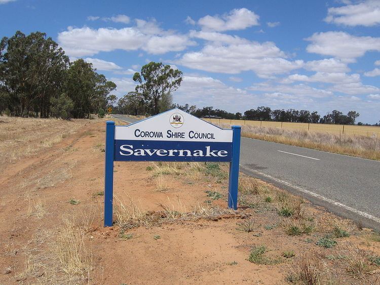
Savernake (/ˈsævərnæk/ SAV-ər-nak) is a village and rural community in the southern Riverina region of New South Wales, Australia. The village is located on the Riverina Highway, east of Berrigan, and in the Federation Council local government area.
Contents
Map of Savernake NSW 2646, Australia
History
The first Savernake Post Office opened on 1 January 1890 and was renamed Warmatta in 1892 (and closed in 1927). The second Savernake Post Office opened in 1895 and closed in 1994.
Today
The village consists of a hall, primary school, a now abandoned shop and a few houses. The hall is used from time to time by the HotHouse theatre group, based in Albury-Wodonga, for small touring theatrical productions.
The main agricultural products of the area include sheep (for meat and wool), beef cattle, dryland cropping and pig production as well as some irrigated rice production.
The Savernake area has been part of a CSIRO project to understand the role of remnant woodlands in agricultural landscapes.