
ISO 3166 code MU-SA (Savanne) Population 68,585 (2015) | Time zone MUT (UTC+4) Area 244.8 km² | |
 | ||
Points of interest Ganga Talao, Black River Gorges National, Rochester Falls, Crocodile & Giant Tortoises, Bois Cheri Tea Factory a Destinations Black River Gorges National, Bel‑Ombre - Mauritius, Souillac, Bois Cheri, Chemin‑Grenier | ||
Savanne is a district of Mauritius, situated in the south of the island. The district has an area of 244.8 km2 and the population estimate was at 68,585 as at 31 December 2015. The southern part of the island is one of the most scenic and unspoilt.
Contents
Map of Savanne District, Mauritius
Places of interest
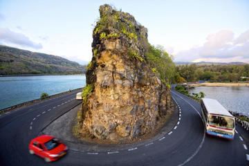
Southern part of the island
Places
The Savanne District include different regions; however, some regions are further divided into different suburbs.
References
Savanne District Wikipedia(Text) CC BY-SA