
Vehicle registration IM Area 11.61 km² Local time Thursday 11:23 AM Area code 05252 | Time zone CET (UTC+1) Elevation 812 m Population 1,397 (1 Apr 2009) Postal code 6432 | |
 | ||
Website www.sautens.tirol.gv.at Weather 13°C, Wind SE at 5 km/h, 63% Humidity | ||
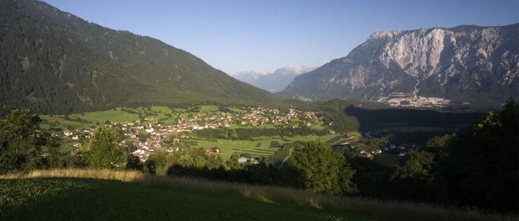
Sautens is a municipality in the Imst district located 9 kilometres (6 mi) southeast of Imst on the lower course of the Ötztaler Ache. The village is located to catch the sun but is protected from the wind, which makes for an especially mild climate. The main source of income is agriculture. Fruit is especially important with a good part of the harvest used to make Schnapps.
Map of Sautens, Austria
The name of the village appears to originate from Roman times. Sautens was once connected with Oetz but became its own community in 1836. Recently the village has experienced increasing tourism.
References
Sautens Wikipedia(Text) CC BY-SA