
Elevation 722 m | Mountain range Thuringian Forest | |
 | ||
People also search for | ||
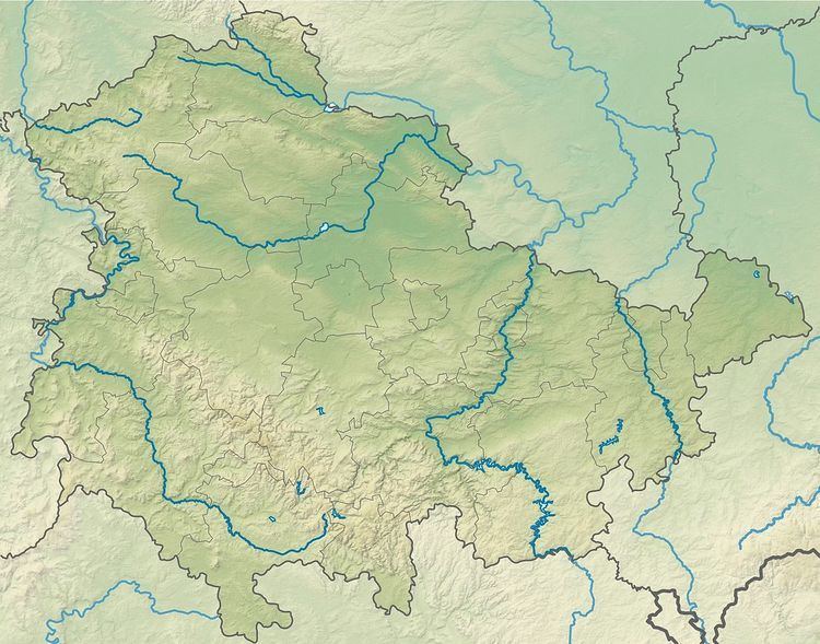
The Sauhügel is a 721.7 m high (above sea level) mountain located in the Thuringian Highland, Thuringia (Germany).
Map of Sauh%C3%BCgel, 98739 Lichte, Germany
It is located close to the municipality of Lichte and the Leibis-Lichte Dam in the Saalfeld-Rudolstadt district in the Thuringian Forest Nature Park within walking distance of the Rennsteig.
References
Sauhügel Wikipedia(Text) CC BY-SA