
Elevation 840 m (2,760 ft) Area 6.614 km² Dialling code 037364 | Time zone CET/CEST (UTC+1/+2) Postal code 09496 | |
 | ||
Satzung is a village in the Saxon municipality of Marienberg, which is in the district of Erzgebirgskreis in the German Ore Mountains.
Contents
Map of Satzung, 09496 Marienberg, Germany
Location
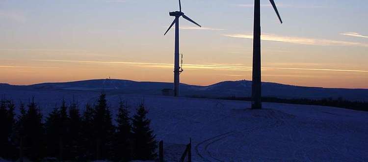
Satzung lies about 12 kilometres south of Marienberg in the Ore Mountains on the German-Czech border. Dense forests separate the village on both the German and Czech sides from its neighbours. Only the field clearings of the abandoned village of Jilmová in the east border immediately on those of Satzung. About 1 kilometre north of the village centre lies the 890-metre-high Hirtstein, some 4 kilometres south-southwest, on Czech territory, lies the 993-metre-high Jelení hora (Haßberg). The Black Pockau river flows eastwards here, marking the state border. The K 8104 district road (Kreisstraße) runs through the village, joining the Staatsstraße 216 running northward from Reitzenhain to Olbernhau.