
Country Thailand Postal code 31150 Area 803 km² | Time zone ICT (UTC+7) Geocode 3111 Province Buriram Province | |
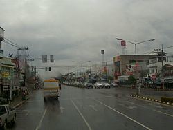 | ||
Satuek (Thai: สตึก, [sā.tɯ̀k]) is a district (amphoe) in the northeastern part of Buriram Province, northeastern Thailand.
Contents
Map of Satuek District, Buriram 31150, Thailand
Geography
Neighboring districts are (from the south clockwise) Krasang, Huai Rat, Ban Dan, Khu Mueang, Khaen Dong of Buriram Province, Chumphon Buri, Tha Tum, Chom Phra, and Amphoe Mueang Surin of Surin Province.
History
Originally a tambon of Mueang Buriram District, the minor district (king amphoe) Satuek was created in 1938. It was upgraded to a full district on 1 November 1947.
Administration
The district is divided into 12 sub-districts (tambon), which are further subdivided into 190 villages (muban). Satuek is a township (thesaban tambon) which covers parts of tambon Satuek and Nikhom. There are a further 12 tambon administrative organizations (TAO).
Missing numbers are tambon which now form Khaen Dong district.