
PIN 627756 | Time zone IST (UTC+5:30) Vehicle registration TN-79 | |
 | ||
Sathirakondan is a panchayat Village in Tirunelveli district in the Indian state of Tamil Nadu. This village is under the control of Kuruvikulam block, Sankarankoil taluk.
Contents
- Map of Sathirakondan Tamil Nadu 627754
- location
- Transport
- Nearby cities and towns
- Panchayat election
- Politics
- References
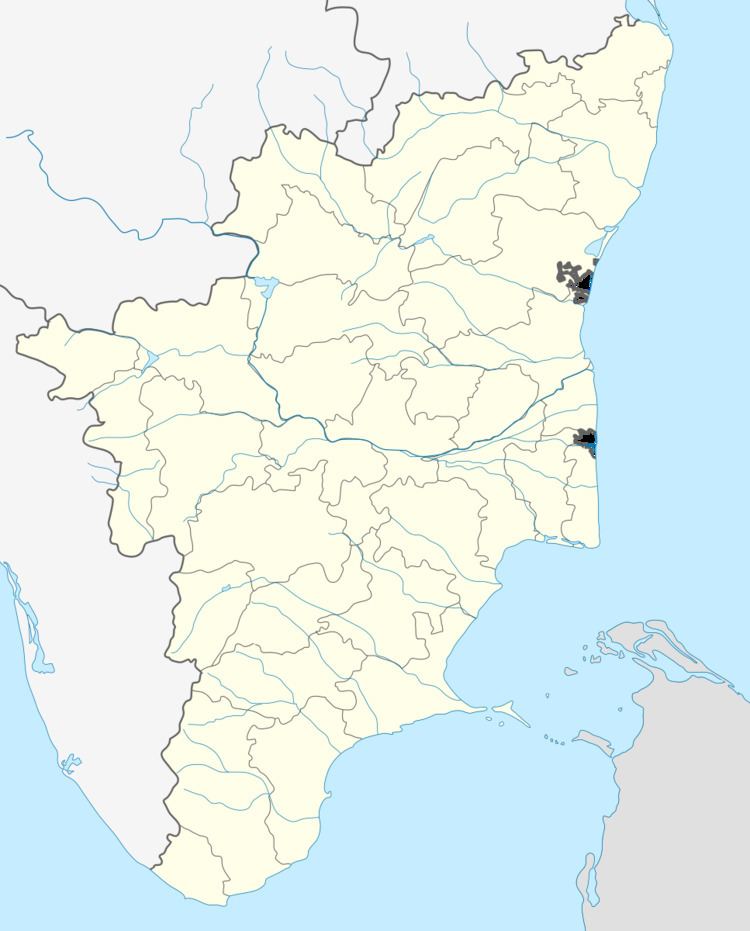
Map of Sathirakondan, Tamil Nadu 627754
location
Sathirakondan located in between 7 km from Sankarankovil and 11 km from Thiruvenkatam.sathirakondan village is the head control for neighbour villages like udapankulam and naranapuram.
Sathirakondan VAO office located near by bus stand and post office in mettu street.Tamil Nadu society bank ltd is situated near by ration shop.Sathirakondan has public library behind Anganwadi Children school. sathirakondan panchayat village is very close to renowned politician Vaiko MDMK hometown KalingapattyJust 6 km from sathirakondan.
Transport
Sathirakondan is very close to Sankarankovil Municipality and regular bus service to Sankarankoil and Thiruvenkatam.Near by railway station is Sankarankoil station just 7 km from sathirakondan.
Nearby cities and towns
Panchayat election
Sathirakondan panchyat comprises nearby villages Udapankulam and Naranapuram. The last two elections were won by a candidate from Udapankulam.
Politics
Sathirakondan comes under Sankarankovil (State assembly constituency and assembly constituency is part of Tenkasi (Lok Sabha constituency).