
Country Thailand Postal code 90190 Area 120 km² | Time zone THA (UTC+7) Geocode 9002 Province Songkhla Province | |
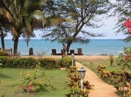 | ||
Sathing Phra (Thai: สทิงพระ) is a district (Amphoe) in the northern part of Songkhla Province, southern Thailand.
Contents
Map of Sathing Phra District, Songkhla, Thailand
Geography
Neighboring districts are (from the south clockwise) Singhanakhon of Songkhla Province, Pak Phayun of Phatthalung Province, Krasae Sin and Ranot of Songkhla Province again. To the east is the Gulf of Thailand.
The western part of the district is at the shore of the Thale Luang, the northern part of the Songkhla Lake.
History
Originally named Chathing Phra, it was renamed to Sathing Phra in 1961.
Administration
The district is subdivided into 11 subdistricts (tambon), which are further subdivided into 79 villages (muban). Sathing Phra is a township (thesaban tambon) which covers parts of tambon Cha Thing Phra.
References
Sathing Phra District Wikipedia(Text) CC BY-SA