
 | ||
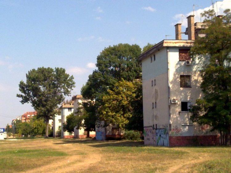
Satelit (Serbian: Сателит) is a neighborhood of the city of Novi Sad, the capital of the Serbian province of Vojvodina.
Contents
- Map of Satelit Novi Sad Serbia
- Borders
- Neighbouring settlements
- Parts of Satelit
- History
- Features
- Notable citizens
- References
Map of Satelit, Novi Sad, Serbia
Borders
The southern border of Satelit is Futoški put (Futog Road), the western border is Bulevar Kneza Miloša (Knez Miloš Boulevard),the eastern border is Bulevar Slobodana Jovanovića (Slobodan Jovanović Boulevard) and the northern border is Bulevar Jovana Dučića (Jovan Dučić Boulevard).
Neighbouring settlements
The neighbouring settlements of Satelit are: Telep on the south, Novo Naselje on the north and east and Veternik on the west.
Parts of Satelit
Some of the parts of Satelit are: Stari Satelit (Old Satelit) and Mali Satelit (Tozinovac).
History
The construction of Satelit began in 1957, when the first houses were built in the area now known as Tozinovac.
Features
Some of the important features of Satelit are: Satelit Market (Satelitska pijaca), "Autokop" (a factory for production of idle parts for cars), and a stadium of "Mladost" football club. There is also an elementary school "Miloš Crnjanski" in the settlement.