
Country India District Ajmer Elevation 337 m Local time Thursday 4:21 AM | State Rajasthan Time zone IST (UTC+5:30) Population 20,372 (2011) | |
 | ||
Weather 24°C, Wind W at 6 km/h, 38% Humidity | ||
Sarwar is a city and a sub division in Ajmer district in the Indian state of Rajasthan.
Contents
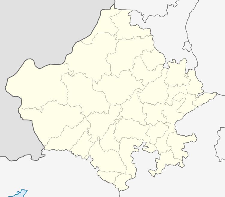
Map of Sarwar, Rajasthan 305403
Geography
Sarwar is located at 26.07°N 75.0°E / 26.07; 75.0. It has an average elevation of 337 metres (1105 feet).
Demographics
As of 2011 India census, Sarwar had a population of 20,372. Males constitute 51.38% of the population and females 48.61%. Sarwar has an average literacy rate of 64.65%, lower than the national average of 74.04%: male literacy is 78.43%, and female literacy is 50.07%. In Sarwar, 16.24% of the population is under 6 years of age. Sarwar is 16 km from town kekri and 64 km from District Ajmer.
Surwar, (Rajputs) belong from here (Sarwar) they are Suryavanshi and their original home was Bikaner. Surwars' worship Ram Chandra, they belong to Garg gotra. Many Surwar Rajputs are also known as Sarwar Rajputs. They have long migrated to Benaras, Mirzapur and Jaunpur districts. Also in North eastern parts of India.There are also Surwar (Sarwar) Muslim Rajputs in Sindh & Punjab provinces of Pakistan.