
District Barpeta PIN 781318 Elevation 35 m Population 41,175 (2001) | Time zone IST (UTC+5:30) Vehicle registration As-15-X-XXXX Local time Thursday 4:01 AM | |
 | ||
Weather 18°C, Wind NE at 5 km/h, 81% Humidity | ||
Sarupeta is a town in Barpeta district, India. The town is located 90 kilometres (56 mi) north west of Gauhati.
Contents
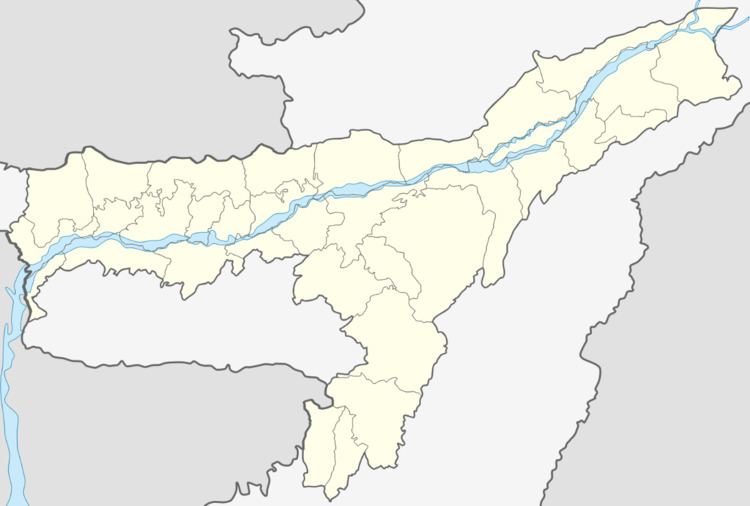
Map of Sarupeta, Assam
Etymology
The word Sarupeta derives from "Saru" meaning small and "Peta" meaning pond, thus Sarupeta means "land of small ponds".
Geography
It is located at 26.49°N 91.07°E / 26.49; 91.07. It has an average elevation of 35 metres (114 feet). It is 44 km away from Manas National Park.
References
Sarupeta Wikipedia(Text) CC BY-SA