Population uninhabited | Area 68 ha | |
 | ||
More on belize guatemala dispute and sarstoon island
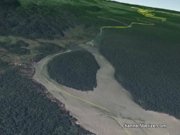
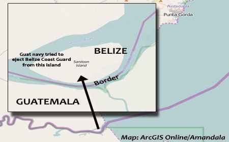
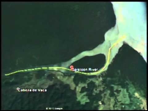
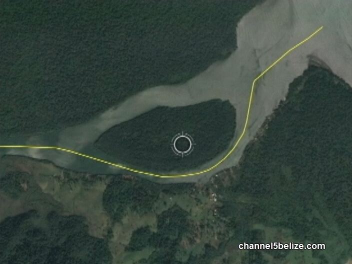
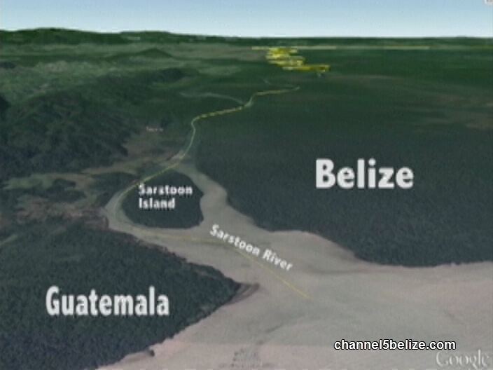
Sarstoon Island is an island near the mouth of the Sarstoon River along the Belize–Guatemala border. It is part of the Toledo District of Belize. The island is mostly swampland and is uninhabited. It covers approximately 0.68 square kilometres (0.26 sq mi).
Contents
- More on belize guatemala dispute and sarstoon island
- Bdf commander speaks of recent excursion to sarstoon island by guatemalan nationals
- References
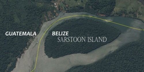
Although the island is administered by Belize, Guatemala has made claims to the island as part of the Belizean–Guatemalan territorial dispute. According to the Wyke-Aycinena Treaty of 1859, "any islands which may be found [within the Sarstoon River] shall belong to that Party on whose side of the main navigable channel they are situated." In 1860, commissioners for British Honduras (now Belize) and Guatemala surveyed the Sarstoon River and found that the river's current predominantly passed to the south of the island, making it part of the territory of British Honduras. A map was drawn up from the survey results showing the boundary running along the southern channel. Both commissioners signed the map on May 13, 1861, certifying that the boundaries shown on it were correct. Guatemala later terminated the agreement, arguing that the United Kingdom had failed to live up to the conditions of the treaty.
In 2015, the government of Belize announced its intentions to build a forward operating base for the Belize Coast Guard on Sarstoon Island. Due to logistical concerns, however, the government decided to build the base on the mainland instead.
Bdf commander speaks of recent excursion to sarstoon island by guatemalan nationals