
Area 207 ha | Region Occitanie Population (1999) 219 Local time Wednesday 9:45 PM | |
 | ||
Weather 6°C, Wind W at 13 km/h, 92% Humidity | ||
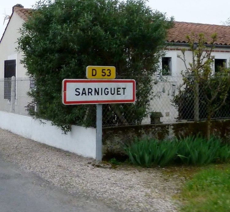
Sarniguet is a commune in the Hautes-Pyrénées department in southwestern France.
Contents
Map of 65390 Sarniguet, France
Geography
Sarniguet is located on the left bank of the Adour River, which flows at highly variable rates through the vast and fertile plain of the same name. The commune of Sarniguet is 207 hectares (510 acres) in area and 11 km (6.8 mi) distant from the department capital, Tarbes. The patchwork terrain of Sarniguet consists heavily of plains surrounded by forested borders of alder and Italian poplar.
References
Sarniguet Wikipedia(Text) CC BY-SA