
District Hamirpur Vehicle registration UP Elevation 129 m Local time Thursday 1:12 AM | Time zone IST (UTC+5:30) Website up.gov.in Population 17,858 (2001) | |
 | ||
Weather 22°C, Wind W at 2 km/h, 54% Humidity | ||
Sarila (Hindi सरीला) is a town, a former Rajput princely state and a nagar panchayat in Hamirpur district in the northern Indian state of Uttar Pradesh.
Contents
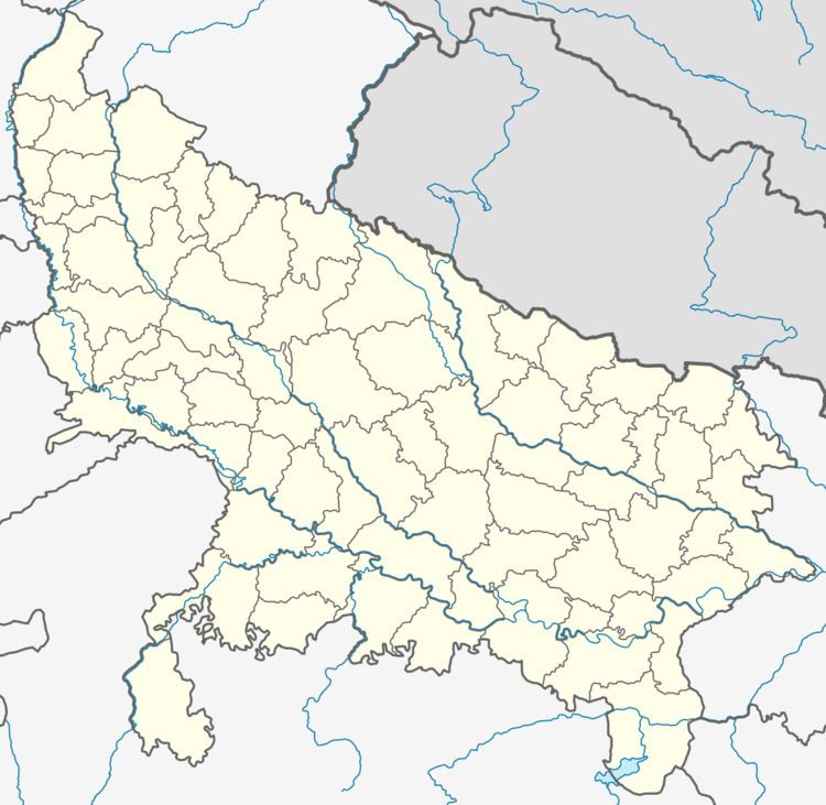
- Map of Sarila Uttar Pradesh 210432
- Geography
- Local self government
- Sub district administration
- Police administration
- Demographics
- History
- Ruling Rajas
- Sites and services
- Historical places
- Education
- Banks
- References
Map of Sarila, Uttar Pradesh 210432
Geography
Sarila is located at 25.77°N 79.68°E / 25.77; 79.68. It has an average elevation of 129 metres (423 feet). It is situated on Rath-Jalapur Road 0r MDR-41B it is 28 km from Rath.
Local self government
Sarila is governed by a municipality under the Uttar Pradesh Municipal Act. The council is called Nagar Panchayat
Sub district administration
Sarila is the headquarters of subdivision, which is headed by a Sub-Divisional Magistrate (S.D.M.), who is assisted by four officers: one Tehsil Magistrate and Nayab Tehsil Magistrates.
Police administration
Sarila city's security is maintained by Sarila Kotwali.
Demographics
As of 2001 India census, Sarila had a population of 17,858. Males constitute 53% of the population and females 47%. Sarila has an average literacy rate of 49%, lower than the national average of 59.5%: male literacy is 64%, and female literacy is 33%. In Sarila, 17% of the population is under 6 years of age.
History
Maharaja Chattarsal of the Bundela clan of Rajputs conquered the area now known as Bundelkhand from the Mughals in the 17th century. One of his grandsons, Raja Pahar Singh of Jaitpur, received Sarila, built Sarila Fortress and in 1755 founded the Hindu princely state covering 91 km2, immedetialy using the royal style Raja.
In 1807 Sarila accepted a British protectorate and became a non-salute state under the colonial Bundelkhand Agency.
It had a population of 6,298 in 1901 and a state revenue of 59,147 Rupees. The privy purse would be fixed at 18,650 Rupees.
The state ceased to exist on 1 January 1950 by accession to Madhya Pradesh.
Ruling Rajas
The dynastic line is nominally continued.
Sites and services
Jhanda bazar is a very famous area of Sarila's city a center.
Historical places
There are many historical places, princely palace, Hindu temples and mosques located in Sarila.
Education
A number of senior secondary and secondary schools are available in Rath: