
Department Barh Köh Elevation 347 m (1,138 ft) Population 103,269 (2012) Number of airports 1 | Sub-Prefecture Sarh Time zone +1 Local time Wednesday 8:19 PM | |
 | ||
Weather 34°C, Wind SE at 6 km/h, 32% Humidity | ||
Sand storm near sarh in chad
Sarh (Arabic: ساره), formerly French colonial Fort Archambault, is the capital of Moyen-Chari Region and of the Department of Barh Köh, in Chad, Central Africa.
Contents
- Sand storm near sarh in chad
- Map of Sarh Chad
- Geography
- History
- Economy
- Climate
- Education
- High schools
- Universities
- Twin townsSister cities
- References
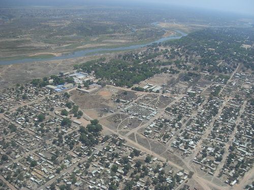
Map of Sarh, Chad
Geography
Sarh is located on the Chari River, 350 miles (560 km) southeast of the capital city N'Djamena. It was named after the Sara people of southern Chad.
It is the third largest city in Chad, after N'Djamena and Moundou
History
Fort Archambault (Sarh) was founded by the colonial French Equatorial Africa, for returnees from the labour camps associated with the construction of the Congo-Ocean Railway. A significantly large textiles complex was constructed by the French in Sarh in 1967.
The residents of Sarh suffered a meningococcal meningitis epidemic in 1990.
Economy
Sarh is now a major transport hub. It is served by the Sarh Airport (IATA airport code SRH).
It is a center for the cotton industry, due to its warm and seasonally wet climate. It is also an important center for commercial fishing in the Chari River.
The city is known as a center of nightlife in the region. Attractions in the city include the Sarh National Museum.
Climate
Sarh feature a Tropical savanna climate .
Education
Sarh is home to various educational institutions:
High schools
Lycées−High schools include:
Universities
Twin towns—Sister cities
Sarh is twinned with: