
Time zone EET (UTC+2) Population 357 (2012) | Elevation 140 m (460 ft) Postal code 33600 Area code 0324 | |
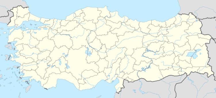 | ||
Sarıveliler is a village in Mut district of Mersin Province, Turkey. At 36°32′N 33°28′E it is situated on the west bank of Göksu River. Turkish state highway is 4 kilometres (2.5 mi) east of the village. Its distance to Mut is 13 kilometres (8.1 mi) and to Mersin is 150 kilometres (93 mi). The population of the village was 357 as of 2012. Main economic activity is farming.
Map of Sar%C4%B1veliler Mahallesi, 33600 Mut%2FMersin Province, Turkey
References
Sarıveliler, Mut Wikipedia(Text) CC BY-SA