
Time zone EET (UTC+2) Population 216 (2011) | Elevation 156 m (512 ft) Postal code 59300 Area code 0282 | |
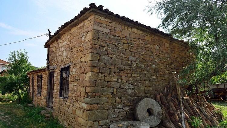 | ||
Sarıpolat is a village in Malkara district of Tekirdağ Province, Turkey, It is situated in the eastern Thrace plains at 40°51′N 26°46′E. The distance to Malkara is 12 kilometres (7.5 mi). The population of the village is 216 as of 2011. The old name of this village is Teslim. It was a Bulgarian village during the Ottoman Empire era. But after the Second Balkan War the Bulgarian population was forced to leave the settlement.
Map of Sar%C4%B1polat, Sar%C4%B1polat Mahallesi, 59300 Malkara%2FTekirda%C4%9F, Turkey
References
Sarıpolat, Malkara Wikipedia(Text) CC BY-SA