
Time zone EET (UTC+2) Population 2,475 (2012) | Elevation 30 m (100 ft) Postal code 09250 Area code 0256 | |
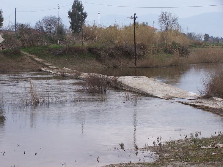 | ||
Sarıkemer is a town in Söke district of Aydın Province, Turkey. It is situated at 37°34′N 27°22′E in the alluvial plain of Büyükmenderes River (Maeander of the antiquity) which flows within the town. Sarıkemer is 24 kilometres (15 mi) south of Söke and 75 kilometres (47 mi) southwest of Aydın. The population of Sarıkemer was 2475 as of 2012. Main economic acticvity of the town is cotton farming.
Map of Sar%C4%B1kemer, Sar%C4%B1kemer Mahallesi, 09250 S%C3%B6ke%2FAyd%C4%B1n Province, Turkey
References
Sarıkemer Wikipedia(Text) CC BY-SA