
Country Thailand Khwaeng 1 Time zone THA (UTC+7) Population 93,854 (2015) | Seat Saphan Sung Established November 21, 1997 Area 28.12 km² Province Bangkok | |
 | ||
Postal code 10240
except Mu 12-17 Khwaeng Saphan Sung: 10250 | ||
Saphan Sung (Thai: สะพานสูง; [sà.pʰāːn sǔːŋ]) is one of the 50 districts (Khet) of Bangkok, Thailand. Located on the eastern part of the capital, it is bounded by other Bangkok districts (from north clockwise): Khan Na Yao, Min Buri, Lat Krabang, Prawet, Suan Luang, Bang Kapi, and Bueng Kum. Most part of Saphan Sung district are low density residential area.
Contents
Map of Saphan Sung, Bangkok 10240, Thailand
History
Saphan Sung was separated from Bueng Kum on 14 October 1997 announcement, effective 21 November 1997, together with Khan Na Yao. Saphan Sung means tall bridge referring to the shape of bridge built over khlongs (Thai canals) back when boats were a main mode of transportation.
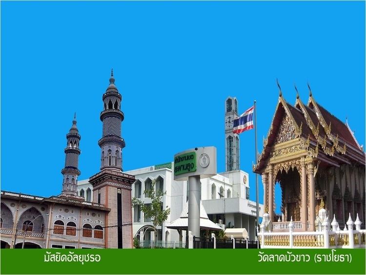
Places
Administration
The district has only one sub-district (Khwaeng).
District Council
The District Council for Saphan Sung has seven members, who each serve four-year terms. Elections were last held on April 30, 2006. The results were as follows: