
Country Thailand Time zone THA (UTC+7) Geocode 3616 Population 13,466 (2005) | Seat Sap Yai Postal code 36130 Area 255 km² Province Chaiyaphum Province | |
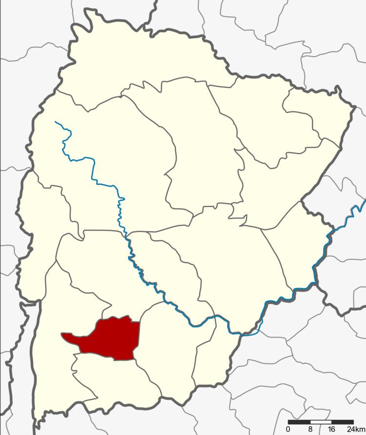 | ||
Sap Yai (Thai: ซับใหญ่) is a district (Amphoe) of Chaiyaphum Province, northeastern Thailand.
Contents
Map of Sap Yai District, Chaiyaphum, Thailand
History
The minor district was separated from Chatturat district on July 1, 1997.
Following a decision of the Thai government on May 15, 2007, all of the 81 minor districts were to be upgraded to full districts. With the publishing in the Royal Gazette on August 24 the upgrade became official .
Geography
Neighboring districts are (from the north clockwise) Nong Bua Rawe, Chatturat, Bamnet Narong and Thep Sathit.
Administration
The minor district is subdivided into 3 subdistricts (tambon), which are further subdivided into 33 villages (muban). There are no municipal (thesaban) areas, and 3 Tambon administrative organizations (TAO).
References
Sap Yai District Wikipedia(Text) CC BY-SA