
Country Thailand Time zone THA (UTC+7) Geocode 1910 Population 30,292 (2005) | Seat Sao Hai Postal code 18160 Area 111.8 km² Province Saraburi Province | |
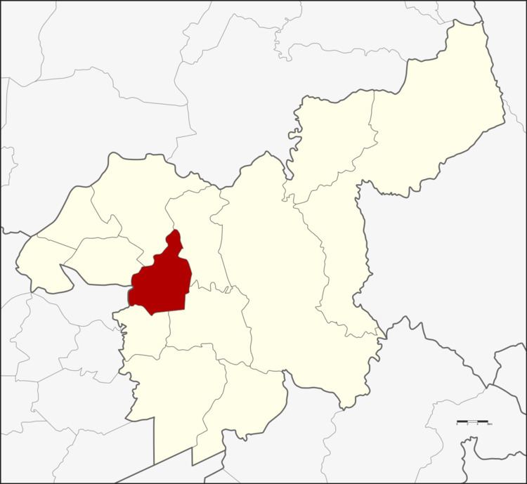 | ||
Sao Hai (Thai: เสาไห้) is a district (Amphoe) in Saraburi Province, central Thailand.
Contents
Map of Sao Hai District, Saraburi Province, Thailand
History
In 1549, King Chakkraphat ordered to separate some part of Mueang Lopburi and Nakhon Nayok to create Mueang Saraburi by military policy. The first record of a central district office is in Sao Hai at Tambon Sala Li Lao. The Mueang Saraburi office was moved to Tambon Pak Phriaw, Amphoe Mueang Saraburi in 1896. At the same time, Sao Hai office district was moved to Tambon Suan Dokmai. 3 years later, it was moved again to Tambon Sao Hai nearby Chao Poo shrine. In 1924 the owner of Sao Hai fresh market donated 12800 m² of land about 500 m from the old location to build a new district office and police station for the district.
The name of the district means crying pillar, which originates from a local legend. At the time the city pillar of Bangkok was built, the King asked for the most beautiful pillars from all over the country to be sent to the capital. The one sent from Saraburi was nearly perfect, but it arrived after the actual pillar was chosen already and thus was only made a secondary pillar. The pillar became very sad, floated back to Saraburi on the Chao Phraya and Pa Sak rivers, and sunk there. Later local villagers heard the crying sounds and erected the pillar there, which gave the tambon and thus the district its name. It is now located in the Chao Mae Takhian Tong Shrine within the temple Wat Sung, near the district office of Sao Hai district.
Geography
Neighbouring districts are (from the northwest clockwise) Ban Mo, Phra Phutthabat, Chaloem Phra Kiat, Mueang Saraburi, Nong Saeng of Saraburi Province, and Tha Ruea of Ayutthaya Province.
The main river of the district is the Pa Sak River.
Administration
The district is subdivided into 12 subdistricts (tambon), which are further subdivided into 103 villages (muban). There are three townships (thesaban tambon) - Sao Hai and Ban Yang each cover parts of the same-named tambon, Suan Dok Mai the whole tambon Suan Dok Mai. There are further 12 Tambon administrative organizations (TAO).