Time zone IST (UTC+5:30) | Subdivision Raghunathpur | |
 | ||
Santuri is a village, with a police station, in Santuri CD Block in Raghunathpur subdivision of Purulia district in West Bengal, India.
Contents
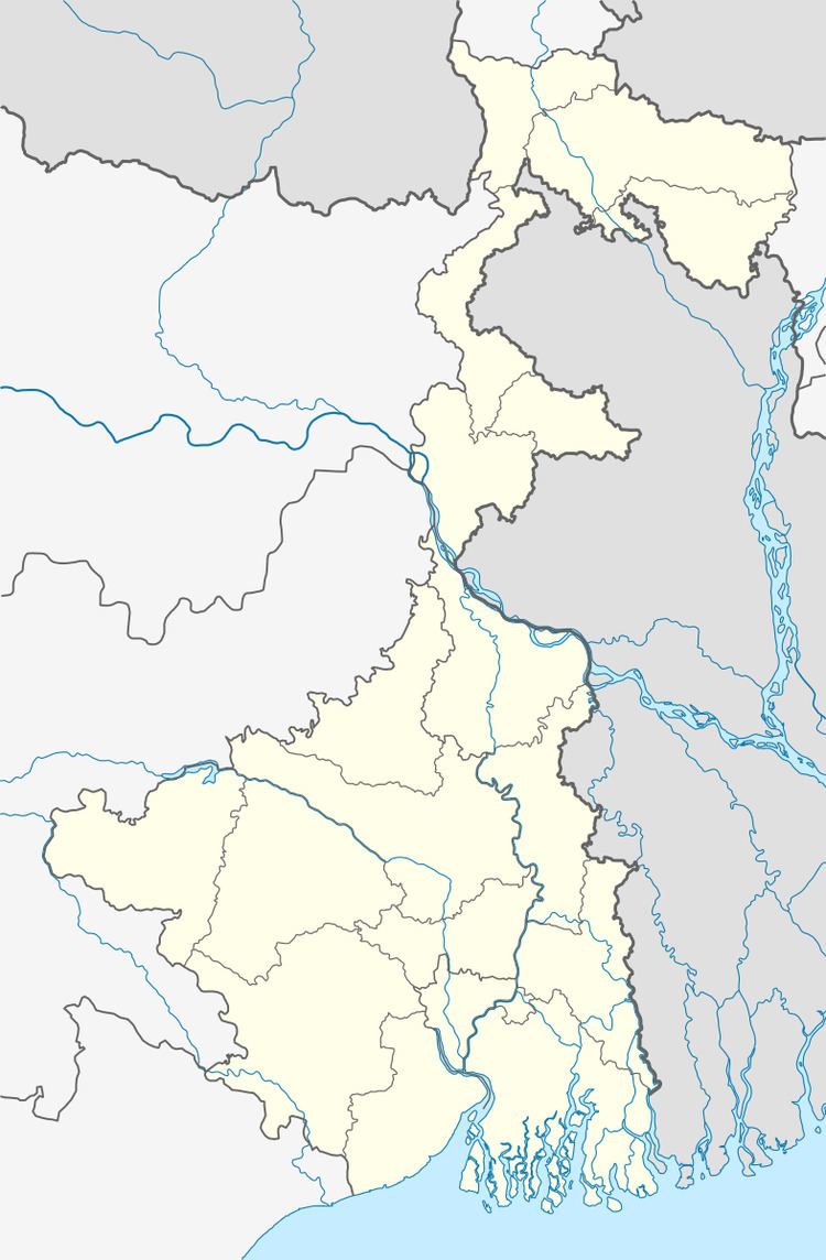
Map of Santuri, West Bengal 723156
Geography
Santuri is located at 23°31′44″N 86°51′50″E.
Demographics
As per 2011 Census of India Santuri had a total population of 2,700 of which 1,390 (51%) were males and 1,310 (49%) were females. Population below 6 years was 322. The total number of literates in Santuri was 1,576 (66.27% of the population over 6 years).
Police station
Santuri police station has jurisdiction over Santuri CD Block. The area covered is 179.69 km2 and the population covered is 78,461.
Transport
State Highway 8 (West Bengal) running from Santaldih (in Purulia district) to Majhdia (in Nadia district) passes through Santuri.
Healthcare
Santuri Primary Health Centre functions with 10 beds.
References
Santuri, Purulia Wikipedia(Text) CC BY-SA
