
Canton Léré Area 24.31 km² Population 369 (1999) | Time zone CET (UTC+1) Local time Wednesday 9:14 AM | |
 | ||
Weather 4°C, Wind S at 18 km/h, 87% Humidity | ||
Santranges is a commune in the Cher department in the Centre region of France.
Contents
Map of 18240 Santranges, France
Geography
A large farming area comprising the village and several hamlets situated in the valleys of the rivers Avenelle and Notre-Heure, about 32 miles (51 km) northeast of Bourges, at the junction of the D926, D82 and the D54 roads. The commune borders the department of Loiret.
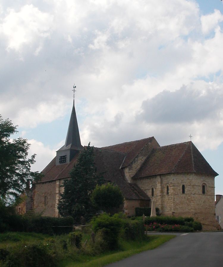
Sights
References
Santranges Wikipedia(Text) CC BY-SA