
Canton Bavans INSEE/Postal code 25531 /25340 Local time Wednesday 8:43 AM | Time zone CET (UTC+1) Area 215 ha Population 68 (1999) | |
 | ||
Region Bourgogne-Franche-Comté Weather 5°C, Wind SE at 6 km/h, 92% Humidity | ||
Santoche is a former commune in the Doubs department in the Bourgogne-Franche-Comté region in eastern France. On 1 January 2017, it was merged into the new commune Pays de Clerval.
Contents
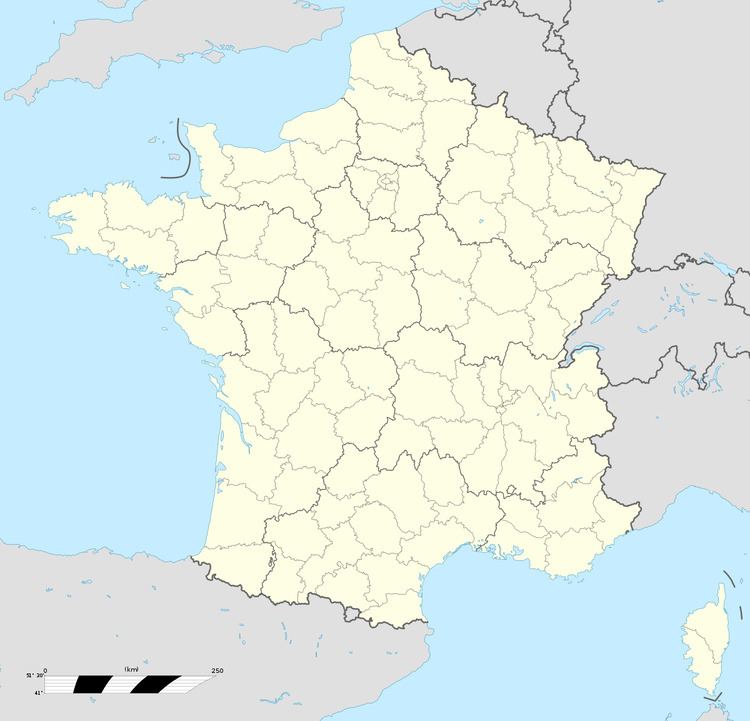
Map of 25340 Santoche, France
Geography
Santoche lies 2 km (1.2 mi) north of Clerval in the valley of the Doubs River on an ancient Roman road.
History
The commune has the only dolmen in the department and a rectangular mound surrounded by ditches called the Motte Jules César, which was once a Gallic temple.
Archaeological digs have discovered prehistoric objects and bones.
References
Santoche Wikipedia(Text) CC BY-SA