
Founded June 19, 1990 Time zone PET (UTC-5) Elevation 2,860 m | Region Ancash Capital Santo Toribio UBIGEO 021209 Area 82.02 km² | |
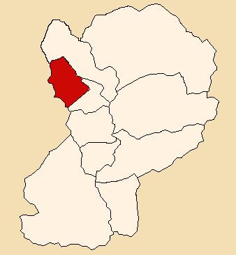 | ||
The Santo Toribio District (Spanish: Distrito de Santo Toribio) is one of 10 districts of the Huaylas Province in the Ancash Region of Peru. The capital of the district is the village of Santo Toribio.
Contents
Map of Santo Toribio District, Peru
Location
The district is located in the north-western part of the province at an elevation of 2,860m.
Populated places
Populated places in the district with the number of households in parenthesis.
References
Santo Toribio District Wikipedia(Text) CC BY-SA