
Barangays Area 86.2 km² | Established April 7, 1981 Time zone PST (UTC+8) | |
 | ||
Neighborhoods Barangay San Isidro, Barangay Katipunan, Katipuan, Manuel Roxas | ||
Santo Niño (Sto. Niño), or officially Municipality of Santo Niño (Hiligaynon: Banwa sang Santo Niño), is a third class municipality in the province of South Cotabato, Philippines. According to the 2015 census, it has a population of 40,947 people.
Contents
- Map of Santo NiC3B1o South Cotabato Philippines
- Geography
- Climate
- Barangays
- History
- Demographics
- Economy
- Places of interest
- Transportation
- Health services
- Education
- References
Map of Santo Ni%C3%B1o, South Cotabato, Philippines
Geography
Situated in the fertile Allah Valley, it is the smallest municipality by land area in the province.
It is bounded by the Municipality of Norala (its mother-town) in the north, the Municipality of Surallah in the east, Allah River and the Municipality of Bagumbayan, Sultan Kudarat in the south, and the Municipality of Isulan, Sultan Kudarat in the west.
Climate
Average temperature in the municipality ranges from a low of 23 °C (73 °F) to a high of 32 °C (90 °F) throughout the year.
Precipitation can be low during the dry season (March to April) at about 40 millimetres (1.6 in) while it can be high especially during the wetter months (May to July) at 100 millimetres (3.9 in).
Barangays
Sto. Niño is politically subdivided into 10 barangays.
History
The municipality's name was derived from its patron saint, the “Sto. Niño”, or the Holy Child. It was formerly called Barrio Trece (13) (although many still called the town proper this name) of the Norala Settlement District of then National Land Settlement Administration.
The Sangguniang Panlalawigan (Provincial Council) of South Cotabato passed a resolution in 1980 requesting then Assemblyman Jose T. Sison to file a bill at the Philippine Parliament to create Sto. Niño a municipality. Parliament Bill No. 1220 was finally passed and approved on December 23, 1980, when Ferdinand Marcos signed it into law as Batas Pambansa Bilang 90. In a plebiscite held on April 7, 1981, the law was ratified.
Municipal mayors:
Demographics
The population is highly literate.
While the most spoken language is Hiligaynon, everyone can speak Tagalog, some Cebuano, and basic conversational English.
Barangay Ambalgan is predominantly Maguindanaoan Muslims and are considered the ethnic inhabitants of the municipality. The rest of the barangays are predominantly Christian settlers who first arrived in the area in the 1940s.
The municipality is generally peaceful with relatively low crime incident.
Economy
Rice production is the primary industry. The well-irrigated rice-lands of the municipality are possible due to the presence of a river irrigation system which is provided by a dam at Allah River at Barangay M. Roxas.
Corn (maize) is the secondary product. Copra is also produced.
Small businesses which provide basic necessities thrive.
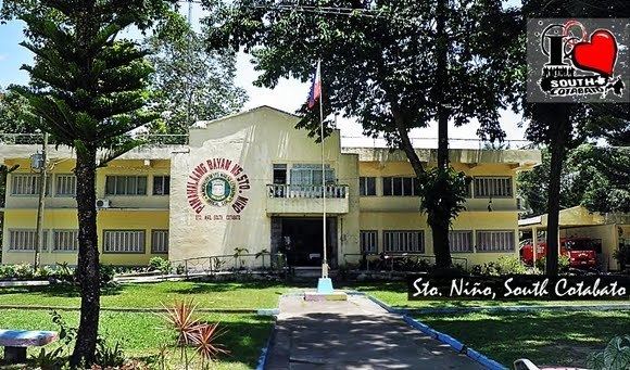
Places of interest
Transportation
The Sto. Nino Public Terminal is a hub for public utility buses and vans that travel to Koronadal City via Surallah and Banga. Travel time from Sto. Nino to Koronadal City is around 30 minutes.
General Santos City, where the General Santos International Airport is located, is accessible by public buses and vans from Koronadal City. Travel time from Koronadal City to General Santos City is about one hour.
Travel within the municipality is through public utility tricycles and motorcycles.
Health services
The Municipal Health Office at the Municipal Hall Compound provides services for consultations.
Private clinics include:
There are a number of small pharmacies at the municipality.
Education
The municipality has a number of public and private schools. These are:
High Schools
Elementary Schools