
Established 1879 (Municipality) Area code(s) +53-422 Elevation 50 m | Founded 1819 Time zone EST (UTC-5) Area 883 km² Local time Wednesday 3:14 AM | |
 | ||
Weather 16°C, Wind E at 3 km/h, 83% Humidity | ||
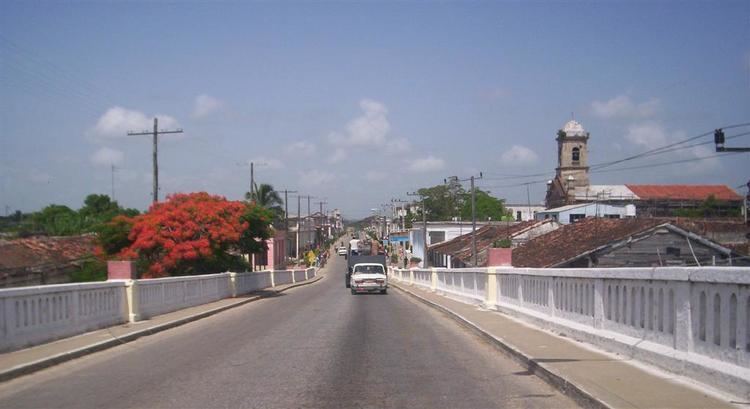
Santo Domingo is a municipality and town in the Villa Clara Province of Cuba.
Contents
Map of Santo Domingo, Cuba
It was founded in 1819 and established as a municipality in 1879.
Geography
The municipality is divided into the barrios and villages of Alvarez, Arenas, Baracaldo, Cascajal, Cerrito, Este, George Washington, Jicotea, Jiquiabo, Manacas, Mordazo, Oeste, Puerto Escondido, Río, Ulacia (Central Carlos Balino), Rodrigo, Amaro, San Juan de Amaro, San Bartolomé, San Marcos and Yabucito.
Demographics
In 2004, the municipality of Santo Domingo had a population of 53,840. With a total area of 883 km2 (341 sq mi), it has a population density of 61.0/km2 (158/sq mi).
References
Santo Domingo, Cuba Wikipedia(Text) CC BY-SA