
Local time Wednesday 3:56 AM | ||
 | ||
Weather 19°C, Wind W at 5 km/h, 93% Humidity | ||
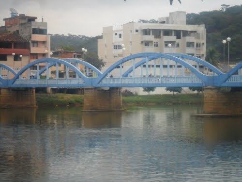
Santo Antônio de Pádua (first part, Portuguese meaning "Saint Anthony") is a municipality located in the northeastern part of the Brazilian state of Rio de Janeiro. Its population was 42,078 (2005) and its area is 612 km².
Contents
- Map of Santo AntC3B4nio de PC3A1dua State of Rio de Janeiro Brazil
- Districts
- Neighboring municipalities
- Coat of arms
- References
Map of Santo Ant%C3%B4nio de P%C3%A1dua - State of Rio de Janeiro, Brazil
Districts
Neighboring municipalities
Coat of arms
The coat of arms of Santo Antônio de Pádua features eight stars representing eight of its districts on a navy blue field of the shield with a tree on the right and a fountain in the middle. The municipality's name is centered in the shield and it runs diagonally from bottom left to top right. The shield is bordered with four orange rectangles on each side. The crown is on the top of the coat of arms.
References
Santo Antônio de Pádua Wikipedia(Text) CC BY-SA