Comarca Comarca de Peñaranda Founded 12th century Area 53.33 km² Local time Wednesday 7:18 AM | Judicial district Santiago de la Puebla Demonym(s) Santiagués Elevation 867 m Population 378 (2014) Area code 923 | |
 | ||
Weather 2°C, Wind S at 13 km/h, 79% Humidity | ||
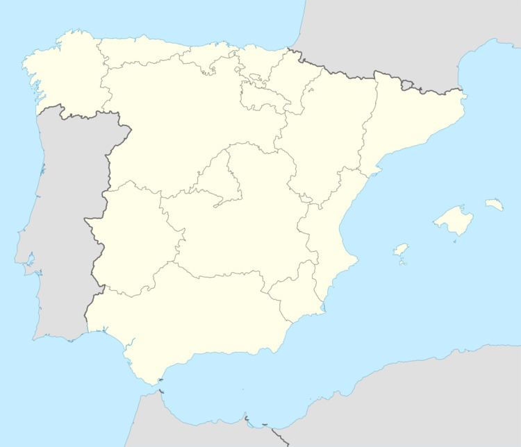
Santiago de la Puebla is a village and municipality in the province of Salamanca, western Spain, part of the autonomous community of Castile-Leon. It is located 54 kilometres from the provincial capital city of Salamanca and has a population of 417 people.
Contents
Map of 37311 Santiago de la Puebla, Salamanca, Spain
Geography
The municipality covers an area of 53.33 km².
It lies 824 metres above sea level.
Economy
The economy is based primarily on agriculture and olive groving.
References
Santiago de la Puebla Wikipedia(Text) CC BY-SA
