
Elevation 60 m Population 4,961 (2005) | Area 680 km² Local time Tuesday 11:56 PM | |
 | ||
Time zone Central Standard Time (UTC-6) Weather 25°C, Wind N at 10 km/h, 61% Humidity | ||
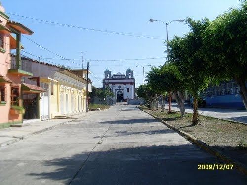
Santiago Niltepec is a town and municipality in Oaxaca in south-western Mexico. It is part of the Juchitán District in the west of the Istmo de Tehuantepec region. The name means "Hill of Indigo."
Map of Santiago Niltepec, Oaxaca, Mexico
The town is 60 meters above sea level. The municipality covers an area of 680.01 km², watered by the Niltepec river which rises in the mountains and flows to the lower lagoon. The climate is tropical, with hot summers. Flora includes mahogany, Nopo, Guanacaste, scrub and grassland. Wildlife includes wild boar, raccoon, squirrel, armadillo and iguana.
As of 2005, the municipality had 1,367 households with a total population of 4,961 of whom 56 spoke an indigenous language. Economic activities include cultivation of corn, sesame, sorghum, melon and watermelon, cattle farming and production of Mezcal and traditional textiles. Since the town is located on Highway 190, there is some tourist trade in local handicrafts and mezcal. There are plans to develop wind farms in the municipality, but these have met local resistance due to the communal ownership of land and concerns about the annual rental prices offered, $98 to $117 per hectare.