
Country Philippines Region Cagayan Valley Founded May 1858 | Area 275.00 km2 Mayor Joseph Salvador Tan | |
 | ||
Colleges and Universities University of La Salette, Northeastern College, Patria Sable Corpus College, Cagayan Valley Computer and Information Technology College - Inc, STI College - Santiago | ||
District 4th District of Isabela and Santiago City | ||
Map of Santiago (Philippine city)
Santiago, officially the City of Santiago, (Ibanag: Siudad nat Santiago; Ilocano: Siudad ti Santiago; Filipino: Lungsod ng Santiago), or simply as Santiago City is a 1st class independent component city in Cagayan Valley (Region II), Philippines. According to the 2015 census, it has a population of 134,830 people.
Contents
- Map of Santiago Philippine city
- Santiago city philippines 2015
- Aerial view video of santiago city philippines
- History
- Cityhood
- Geography
- Climate
- Religion
- Economy
- Central Business Districts
- Local government
- Barangays
- Culture and Tourism
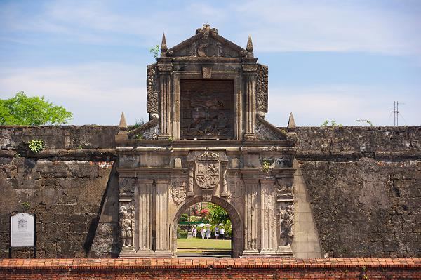
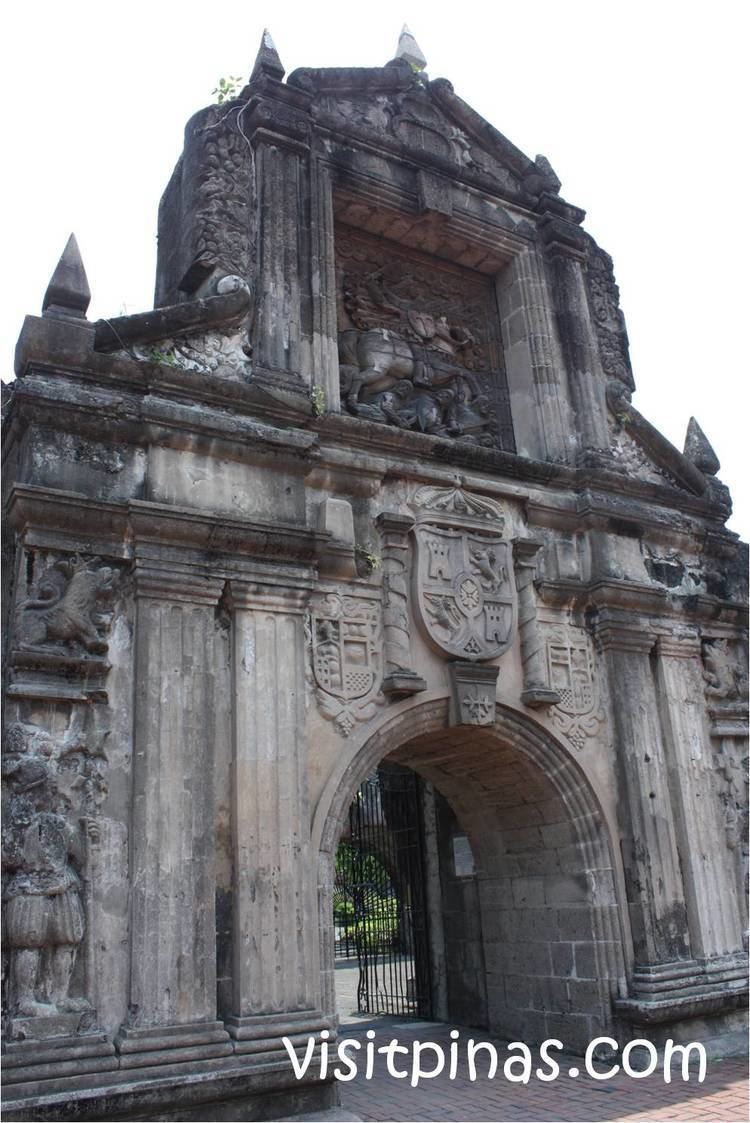
- Places of Interest
- Festivals
- Transportation
- Education
- Shopping Center
- Notable people
- Local
- International
- References
Formerly known as Pueblo de Carig in old Spanish time, it is located between southwestern part of Isabela and northwestern boundary of Quirino in Northeastern Luzon island of the Philippines. It is the gateway to the vast plains of Cagayan Valley.

Santiago is situated 331 kilometres (206 mi) north of Metro Manila. The city sits on a vast area of predominantly flat and fertile land in the Cagayan Valley, surrounded by the Caraballo Mountains to the south, the Great Sierra Madre to the east and the Cordillera Mountain Range to the west.
Though geographically located within the boundaries of the province of Isabela, and part of the province's 4th District, Santiago City is administratively and legally independent from the province as stated in Section 25 of the LGC.
Santiago city philippines 2015
Aerial view video of santiago city philippines
History
The origin of Santiago City can be drawn from the first native settlement discovered by the early Spanish missionaries at the bank of the old Carig River (now Diadi River) from which its original name, Carig, was derived. The early inhabitants were the Gaddangs and the Ibanags. When the Spanish settled in, the city was named Pueblo of Santiago Apostol de Carig, with Santiago as the Spanish name of Saint James the Apostle. In the early 1950s, the Municipal President Vicente Carreon changed the name to simply Santiago. Santiago remained a municipality for 84 years.
Santiago was originally a part of the province Cagayan (comprising the whole Cagayan Valley region), which was reorganized as a political subdivision in 1583 with Nueva Segovia as its capital. On May 1, 1856, when the Province of Isabela was carved out by a Royal Decree, Santiago was among the towns relinquished to the newly created province. The first five barrios after the Cadastral survey in 1927 were Patul, Batal, Nabbuan, Buenavista and Dubinan.
It was said that there were only about three Filipino-owned sari-sari stores in Santiago in 1917. The settlers acquired most of their merchandise and other provisions from Chinese traders in Echague, the landing zone for products intended for Santiago and other towns, owing to its proximity to the Cagayan River.
It was when the Villa-Verde Trail was opened when things were set in motion. It facilitated the entry of immigrants from various provinces in Luzon to the Cagayan Valley and Santiago absorbed a sizable share of these travelers. The new route served as an impetus for growth and introduced new technologies and business opportunities, and made Santiago a melting pot of different cultures.
In 1942 during World War II, the Japanese forces entered and occupied the town of Santiago. In 1945, the town was liberated by the Filipino soldiers of the 1st, 2nd, 11th, 12th, 13th and 15th Infantry Division and the USAFIP-NL 11th Infantry Regiment of the Philippine Commonwealth Army, the 1st Infantry Regiment of the Philippine Constabulary and the recognized guerrilla fighter units.
Santiago survived through world wars, although badly damaged, and from then on developed to become the leading trading and commercial city in Cagayan Valley.
Cityhood
On December 17, 1993, the bill converting Santiago into an independent component city was approved by the Lower House spearheaded by the then Mayor Jose "Pempe" Miranda. On the following year, the Senate Committee on Local Government approved another public hearing dated February 23, 1994.
On May 5, 1994, by virtue or Republic Act 7720 signed by President Fidel V. Ramos, Santiago was pronounced as an independent component city, the first in the Cagayan Valley Region. This made Santiago self-governing and independent from the province of Isabela. Republic Act 8528 repealed this statute transforming it to a component city. It was not until December 29, 1999, when the Supreme Court contested the validity of the latter decision and favored Santiago to be once again an independent component city.
Geography
The total land area the city is 80% flat or nearly level land in the portions of northwestern, eastern and western parts of the city. While adjacent areas have gently undulating and moderately rolling areas, and the remaining areas constitutes steeply undulating and rolling lands. The Dariuk Hills is the highest point in the city.
The geographic coordinate of the city lies between 16º35’00” to 16º47’30” north latitude and 121º25’00” to 121º37’00” east longitude.
Climate
The city has a climate with no pronounced wet or dry season. Usually, the city has considerably dry climate with minimum rainfall. The average yearly temperature is measured at 24.9 °C (76.8 °F). Annual and daily temperature variation is minimal. Temperature ranges are usually from 18 to 35 °C (64 to 95 °F).
Religion
The dominant religion in the city is Roman Catholic (Saint James the Apostle Parish in Barangay Centro West and Saint Francis of Assisi Parish in Barangay Rizal). However, other Christian sectors are also present in Santiago such as Iglesia ni Cristo, United Methodist Church, Pentecostal Missionary Church of Christ (4th Watch), Jesus is Lord Church, Christ the Rock Church and The Church of Jesus Christ of Latter-day Saints. Being a hurried district full of different cultures, such as Indians, Muslim, and Chinese, several religious groups have also opened their places of worship to the public, such as Chinese Temple, the Muslim Mosque, and the Sikh Temple.
Economy
Home of several business enterprises, banking institutions, educational entities, as well as manufacturing companies, Santiago City is considered the Commercial and Trading Center of Cagayan Valley and tagged as the Investment Hub of the North.
Robinsons Land Corporation has launched Robinsons Place Santiago as its pioneer mall in Cagayan Valley. Vista Land and Lifescapes, Inc. built its first horizontal subdivision in the Valley with Camella Isabela Communities, Inc. It has recently launched another project named as Camella Santiago. The head-office of Grupo Marilens, the largest homegrown corporation in the region, is in Santiago City. Three of the biggest TV networks in the country (i.e.ABS-CBN, GMA7, TV5) stationed their regional networks and relay stations in the city. San Miguel Corp., Pepsi Cola, Purefoods, Digitel and PLDT also operate in the city while different car companies abound(i.e. Mitsubishi, Nissan, Suzuki, Hyundai, KIA, Ford, Chevrolet, Peugeot, Foton, Toyota Isabela and other car companies as well as Yamaha and Honda Motors). The National Food Authority competes with local traders to stabilize prices.
Santiago City houses some of the biggest hospitals in the region. The University of La Salette Hospital is said to be the biggest having a capacity of at least 350 beds. De Vera's Medical Center, Callang General Hospital and Medical Center and Santiago Adventist Hospital are also equally equipped private hospitals. The Southern Isabela General Hospital and Flores Memorial Hospital are now considered medical centers.
Another hospitals are set to open including Santiago Specialists Hospital and the Corazon Memorial Hospital.
Based on the 2016 City Competitiveness Index, Santiago is the fastest growing local economy in the entire Philippines and is now ranked 51 in terms of economy size among all cities in the country.
Despite rapid industrialization, agriculture is still the untoppled source of livelihood. The main crops are rice, corn, high value fruits and vegetables. The city is where imposing grain stations can be found. Rice mills abound. It is the pivotal place for crops where harvests from Ifugao, Kalinga, Quirino, Nueva Vizcaya, and parts of Isabela are transported either to Nueva Ecija, Bulacan, Pangasinan or Batangas. In addition to the city's product is muscovado sugar which the local government has been promoting for export.
During the Miranda Flagship, the city Government adopted the parental AxR Hybrid rice seed production as its flagship program for agriculture, which produces the offspring F1 Hybrid rice seed. This rice variety makes phenomenal yield of 249 per ha. doubling the income of Santiago City farmers per cropping, and is expected to bring Santiago City over 2 billion in income and also additional taxes of 17 million and the national government of 33 million per year.
After the previous leadership, The Navarro Administration added more life in culture and strengthen the livelihood of the people. The Navarros' spearheaded a unique program for farmers in planting on mid-summer and harvest by early September side-by-side in focusing on high-value fruits.
Central Business Districts
Santiago City has the widest and most well-kept business district in Cagayan Valley. Its public market of more than 6 hectares is one of the biggest distribution centers in the Philippines. In terms of cleared checks at the clearinghouse, the volume of transactions in the city is among the top five in the country. At present, there are about 6,500 registered business establishments in the city while new business permits have been issued to investors from as far as Manila. The city has 37 banks, and has the most-numbered universal banks in the region. The Santiago City Government has installed more than 50 closed circuit television (CCTV) cameras in strategic areas to monitor public safety and traffic flow in the city. Also, the installations of sodium-vapor and solar-powered streetlights were made to illuminate the roads and prevent accidents (e.g. vehicular accidents) and help lessen the crime rate or the proliferation of criminals especially at night.
1. Pan-Philippine Highway (Maharlika Highway) - This eight kilometer road is the main Central Business District of the city, where midrise buildings used for commercial establishments such as banks, hotels, educational institutions, among others are found. This stretches from Toyota Isabela in Sinsayon to Colby City in Batal.
Government institutions like the Register of Deeds, Bureau of Internal Revenue, National Irrigation Administration and Isabela State University are located here.
2. Lino C. Barrera and Panganiban Streets - dubbed as the old downtown of Santiago. These intersecting streets are the arterial roads for the Old Public Market distinguished by the Skylight roofing system and organized gate entrances.
3. Camacam Street/Santiago-Saguday Road - where the New Public Market is found distinguished by the modern three-level Arcades 1 and 2. This road leads to the cemeteries, to Balintocatoc Hills where an eco-tourism area is being developed, and to Mangosteen Natural Gas Project.
4. R.C. Miranda Road (City Road) - parallels the Maharlika Highway. Banking institutions, car and motorcycle showrooms, hospitals, hotels, and places of worships thrive here. This stretches from Dubinan East to Calao East.
5. Mabini Circle - this area is considered the shopping and entertainment district of the city. Car companies, shopping malls (i.e. M1 Mall, Robinsons Place Santiago), hotels, and nightclubs are found here.
6. Marsman T. Alvarez Boulevard (known as Four Lanes) - where the multi-million Integrated Transport Terminal and Commercial Complex is found. Satellite and regional offices of government agencies are concentrated here. Different establishments can likewise be found here such as the Xentro Mall and SM Savemore Market. This road also leads to Camella Isabela.
7. Patul Road/Santiago-Diffun Road - where different service-oriented establishments and numerous housing subdivisions are located. Gasoline stations, restaurants, as well as a hospital are found here.
8. Santiago-Tuguegarao Road (Highway 51) - stretches from San Andres to Rizal. The City Hall, gas stations, hotels (i.e. Charina's, Monte Carlo, Diocitas, Gatioan), places of worship, mini market, and recreation centers are located here. Modern Hospital Santiago Medical City and Dunlop Isabela are located here.
9. Zamora and Narra Avenues - These streets intersect the main road of Camacam. The Southern Isabela College of Arts and Trades, Santiago City National High School and Southern Isabela General Hospital are located here. The Santiago City Cable System, bars, restaurants, bake shops, drug stores and other micro-business enterprises abound in this area.
10. Grid System of Poblacion and Victory Norte - The Grid system of Central Santiago City, which is the biggest grid system in North Luzon, is the location of numerous home-grown enterprises.
Local government
The city is governed by a mayor-council system. There are 10 City Councilors. The council is the official government body of the city, also known as Sanguniang Panglungsod. Council agenda is presided by the City Vice Mayor. However, being an independent-component city with its own charter, it is not subject to the jurisdiction of Isabela province, of which it is geographically a part. It is however represented in the Philippine Congress as part of Isabela's 4th Legislative District. No native was ever elected mayor of Santiago since the Philippine became a Commonwealth and Republic.
List of the current elected officials:
Barangays
Santiago City is politically subdivided into 37 barangays.
Culture and Tourism
Majority of the population speaks Tagalog and Ilocano. English is the medium of instruction in schools and is generally understood and spoken especially in the business community.
Tourism is a new industry in the city. Serving as the jump-off point in Northeastern Luzon for tourists, many landmarks are developed. Tourist spots near Santiago are Quirino Province, Magat Dam in Isabela, Banaue Rice Terraces in Cordillera, and white sand beaches in Aurora Province facing the Pacific Ocean.
Places of Interest
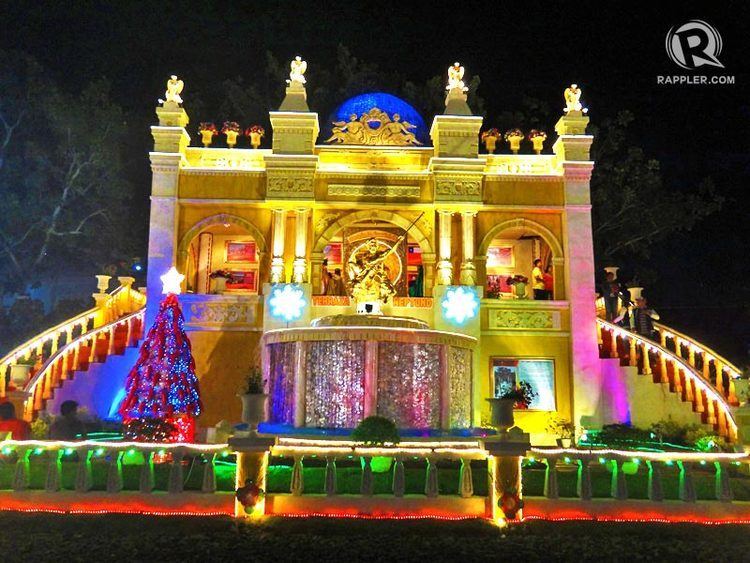
Festivals
Transportation
Serving as a bridge to the region's provincial network, numerous bus terminals are present in the city. These include, Victory Liner, Northeast Luzon Bus Line (formerly Nelbusco), GV Florida Transport, Five Star Bus Company among others. By air via Cauayan Airport.
The Integrated Transport Terminal and Commercial Complex has also been established to cater for all public utility jeepneys, buses, and vans that operate from nearby provinces and localities to the city.
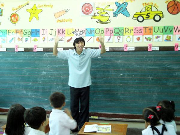
Education
Notable school institutions located in the city are the Children First School, University of La Salette and Northeastern College, one of the oldest schools in the region. The Southern Isabela College of Arts and Trades - TESDA is the biggest vocational school operating in the city.