
Country Thailand Postal code 55000 Area 416.8 km² Province Nan Province | Time zone THA (UTC+7) Geocode 5511 Population 15,695 (2009) | |
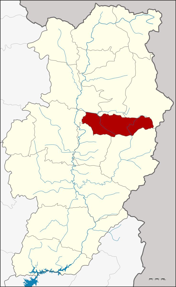 | ||
Santi Suk (Thai: สันติสุข, [sǎn.tì(ʔ) sùk]) is a district (Amphoe) in the central part of Nan Province, northern Thailand.
Contents
Map of Santi Suk District, Nan, Thailand
History
The minor district (King Amphoe) Santi Suk was established on June 15, 1981, when the two tambon Du Phong and Pa Laeo Luang were split off from Mueang Nan district. The third tambon Phong was assigned from Mae Charim district on April 21, 1983. The minor district was upgraded to a full district on July 4, 1994.
Geography
Neighboring are from the north clockwise Tha Wang Pha, Pua, Bo Kluea, Mae Charim, Phu Phiang and Mueang Nan.
The eastern part of the district is located in the Luang Prabang Range mountain area of the Thai highlands.
Administration
The district is subdivided into 3 subdistricts (tambon), which are further subdivided into 31 villages (muban). There are no municipal (thesaban) areas, and 3 Tambon administrative organizations (TAO).