Intercommunality Plateau Briard Area 9.91 km² | Region Île-de-France Canton Villecresnes Population (2008) 3,675 Local time Wednesday 5:53 AM | |
 | ||
Weather 4°C, Wind S at 14 km/h, 93% Humidity Points of interest Notre-Dame Forest, Lapere Richard, Château de Choigny | ||
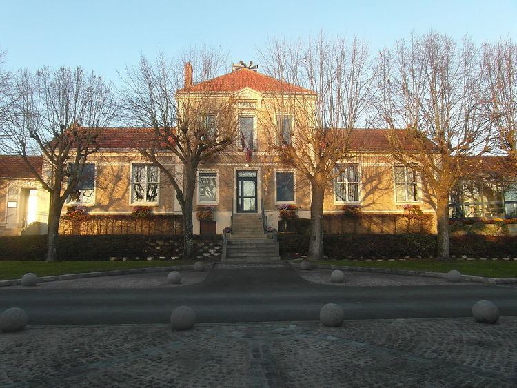
Santeny is a commune in the southeastern suburbs of Paris, France. It is located 21.8 km (13.5 mi) from the center of Paris.
Contents
Map of 94440 Santeny, France
Transport
Santeny is served by no station of the Paris Métro, RER, or suburban rail network. The closest station to Santeny is Boissy-Saint-Léger station on Paris RER line A. This station is located in the commune of Boissy-Saint-Léger, 5.7 km (3.5 mi) from the town center of Santeny.
Education
Santeny has one consolidated preschool/nursery (maternelle) and elementary school: Groupe scolaire des 40 Arpents. The commune also has Collège George Brassens, a public junior high school.
Area senior high schools/sixth-form colleges:
References
Santeny Wikipedia(Text) CC BY-SA
