
Time zone CET (UTC+1) Elevation 62 m Population 11,636 (2014) | Area 124.5 km² Local time Wednesday 5:41 AM | |
 | ||
Weather 8°C, Wind E at 5 km/h, 92% Humidity Points of interest Cala Figuera, Caló des Moro, Cala s'Almunia, Cala Llombards, Faro de Cabo de las Salinas | ||
Santanyí is a municipality on the Spanish island of Majorca, one of the Balearic Islands, situated in the most western part of the Mediterranean Sea.
Contents
Map of Santany%C3%AD, Balearic Islands, Spain
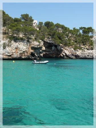
This municipality in the south east of Majorca is home to the towns of Santanyí, Calonge, s’Alqueria Blanca and es Llombards, as well as the coastal districts of Cala Esmeralda, Cala d'Or, marina de Cala d’Or, Portopetro, Cap d'es Moro, Cala Figuera, Cala Santanyí, Cala Llombards and Cala de s’Almunia. The municipality encompasses a variety of beaches popular for their scenic beauty. The coast covered by the municipality extends around 35 kilometres along the south east coast of the island. It also holds a large number of archaeological sites - 172 - evidence of the existence of a productive agriculture and farming tradition since at least the Talaiotic period.
Santanyi is also home to a protected natural area, the Mondragó Natural Parc.
Town
¹ Information from the Spanish National Institute of Statistics
Evolution of the Municipality's population.
Source: Balearic Institute os Statistics